

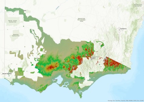
Victoria’s Department of Transport and Planning has launched the Vicmap 1m Digital Elevation Model (DEM), a new offering under its Vicmap Elevation product line.
The new 1m DEM covers 60% of Victoria and draws its data from the Vicmap LiDAR DEMs collection.
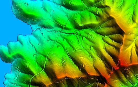
The 1m DEM features:
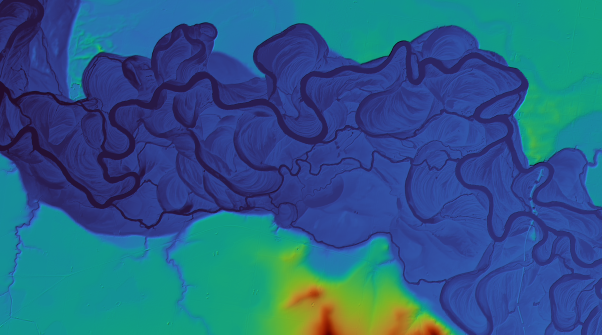
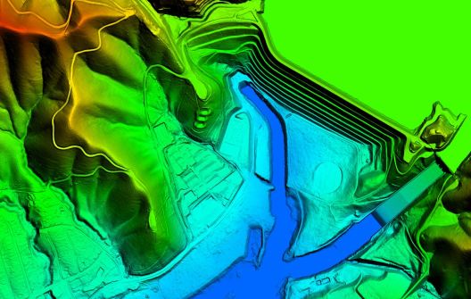
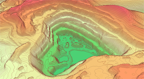
- A 100x improvement in terrain detail compared to the 10m Digital Elevation Model;
- Greater ease of use with access to the best-available elevation data through a single mosaic product;
- On-demand access to up-to-date content.
Spatial web services provide terrain, relief, hill shade and footprints, with monochrome surface, coloured and monochrome shaded relief symbology styles. The vertical datum is AHD and the coordinate systems are Web Mercator, VicGRID GDA2020, Geographic GDA2020.
The DEM data itself has 1m-or-higher resolution with vertical accuracy of +/-10cm RMSE. The horizontal datum is GDA2020, the vertical datum is AHD, coordinates are MGA54 and MGA55 and the format is cloud-optimised GeoTIFF. The date range is from 2009 to the present.
Full technical details are available in a downloadable document.
Access is available to public sector agencies under the Vicmap Elevation Subscription Program, while private sector access is available through a range of resellers.
A free viewer with access to limited data is available online, giving potential data purchasers the opportunity to sample the service first.


