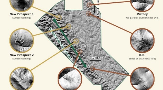
Clara Resources’ 39-square-km aerial LiDAR scanning campaign has identified seven potential exploration targets.
digital elevation model
-
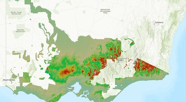
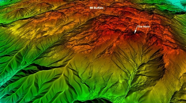
The new DEM covers 60% of Victoria and provides a 100x improvement in...
2024-07-23
Aerial LiDAR has been used to generate a 1-metre DEM of parts of...2023-09-04
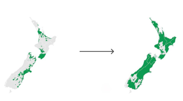
The release of 3D mapping data for Waikato and Southland means more than...2023-08-15
ADVERTISEMENT
Newsletter
Sign up now to stay up to date about all the news from Spatial Source. You will get a newsletter every week with the latest news.
© 2026 Spatial Source. All Rights Reserved.
Powered by WordPress. Designed by ![]()