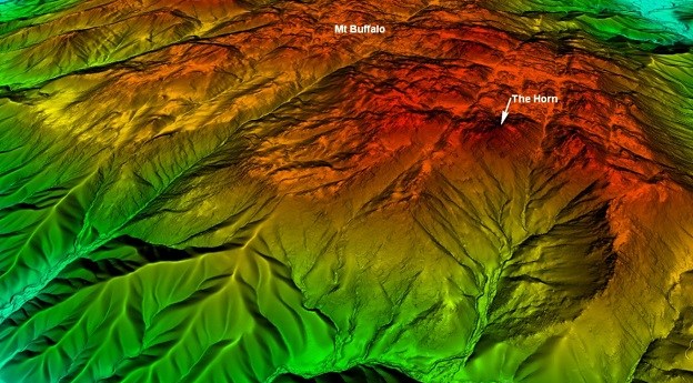
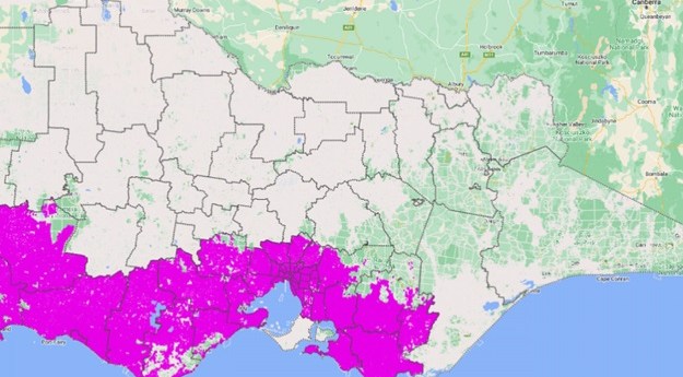
The new DEM covers 60% of Victoria and provides a 100x improvement in...
Vicmap
-
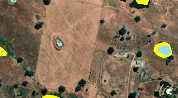
Dynamic Vicmap is finding new ways to build and maintain Vicmap datasets in...
2024-01-09
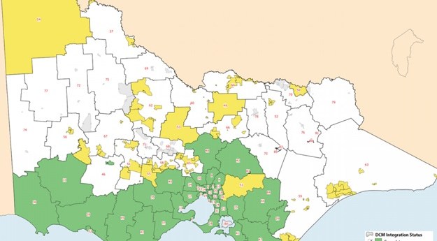
More than 50% of municipalities across Victoria have been fully integrated into the...2023-12-18
Aerial LiDAR has been used to generate a 1-metre DEM of parts of...2023-09-04
ADVERTISEMENTInitial Digital Cadastre Modernisation adjustment has been made to around 50% of Victoria’s...2022-07-04
Victoria’s DCM project is progressing, with successful data integration and digitisation of plans.2022-04-04
Newsletter
Sign up now to stay up to date about all the news from Spatial Source. You will get a newsletter every week with the latest news.
© 2025 Spatial Source. All Rights Reserved.
Powered by WordPress. Designed by ![]()


