Dynamic Vicmap using AI and EO for better datasets

By on 9 January, 2024
Water reservoirs represented with different geometries: yellow polygons representing authoritative Vicmap water features; blue polygons representing para-authoritative water features generated by a ML model; and green points representing authoritative Vicmap water features. Images courtesy Land Use Victoria.

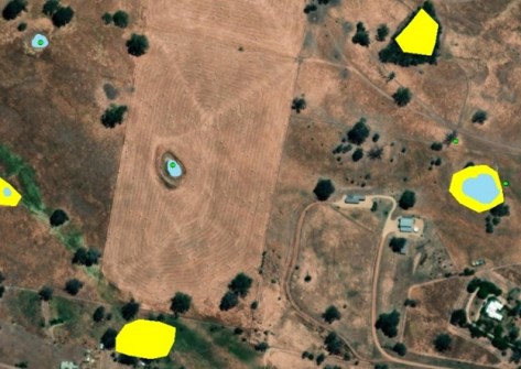
To tackle the demand for more accurate and up-to-date spatial data, Dynamic Vicmap is using AI and space-based Earth observation data to find new ways to build and maintain Vicmap datasets to make them more accurate, and easier to maintain and enhance.

An example is the use of the Vicmap Hydro product to tag and link data to enrich the contextual detail of Vicmap’s data to, for instance, indicate what has changed, why it changed and who changed it. This will make it easier to find, sort and understand data in relation to other data and pieces of information.

Variation to the extent of a wetland-swamp area at different time periods. Green polygons illustrate the area extent included in the current Vicmap hydro dataset, while red polygons show the current actual extent.
Water features with multiple geometry representations as point and polygon.

Digital maps of information called Knowledge Graphs will be produced to show how entities are interconnected, using nodes to show how the different Vicmap datasets sit in context with each other.

A joint initiative of Vicmap and the Digital Twin Victoria program, supported by Frontier SI, SmartSat CRC and RMIT, Dynamic Vicmap will also look at using satellite technology for future earth observations, with the aim of helping to improve current aerial imagery practices and deliver more frequent updates that are captured using consistent methods.

You may also like to read:


, , , , ,


Newsletter

Sign up now to stay up to date about all the news from Spatial Source. You will get a newsletter every week with the latest news.

Geospatial in the age of the metaverse
The geospatial sector is set to both underpin the metaverse ...
$140 million allocated for WA Spatial Digital Twin
The 10-year project aims to improve infrastructure delivery,...
March 21: Celebrating Global Surveyors’ Day
March 21 is the day on which we celebrate the essential work...
Government releases new Local Drone Rules map
UAV users can now easily see whether they need to obtain aut...
Photogrammetry with enhanced cloud capabilities
SimActive has announced improved cloud environment enhanceme...