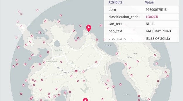
The datasets have been released by the UK’s Ordnance Survey as part of...
dataset
-
Dynamic Vicmap is finding new ways to build and maintain Vicmap datasets in...
2024-01-09
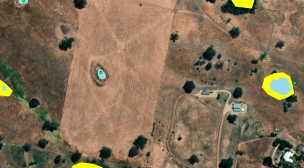
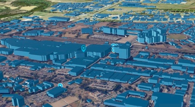
The building footprint and trees coverage datasets are for the exclusive use of...2022-11-15
SEED has partnered with the NSW Flood Data Portal to connect more than...2022-10-24
ADVERTISEMENTGeoscience Australia has released a new multibeam bathymetry dataset that provides improved understanding...2013-02-05
Newsletter
Sign up now to stay up to date about all the news from Spatial Source. You will get a newsletter every week with the latest news.
© 2025 Spatial Source. All Rights Reserved.
Powered by WordPress. Designed by ![]()


