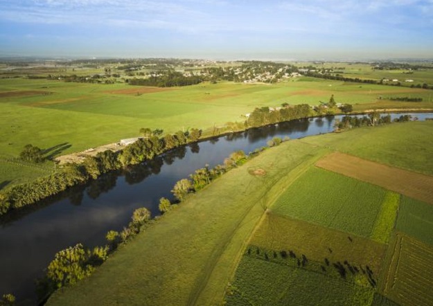
Image by John Spencer/DPE
SEED, the central resource for Sharing and Enabling Environmental Data in NSW, has partnered with the NSW Flood Data Portal (FDP) to syndicate and connect more than 2,300 publicly available flood-related datasets and more than 120 organisations to SEED.
The SEED portal provides a central place where the community and government can search for, access, contribute and share environmental data.
Having NSW flood data accessible via SEED enhances the visibility of critical information, which can be found alongside other important environmental data, streamlining discoverability and empowering scientific research and evidence-based decision-making.
FDP records are searchable in the same way as for any other SEED datasets and can be found using the ‘Disaster’ category on SEED. However, resources in the FDP records can only be accessed directly via the FDP — by clicking on the resource on SEED, users are linked to the FDP to download.
Local councils remain the primary source of flood information for their service areas.


