Image credit: ©stock.adobe.com/au/Maxim Grebeshkov
Victoria’s Digital Cadastre Modernisation (DCM) project is moving ahead, with Land Use Victoria recently completing a successful pilot to integrate the spatially improved (adjusted) data into the Vicmap editing environment.
According to Land Use Victoria, as spatially upgraded areas become ready for integration, stakeholders will be invited to view adjusted parcel boundary data in the DCM Integration Viewer prior to publication in Vicmap.
The Integration Viewer provides visualisation of the spatial upgrades that have come from digital cadastre modernisation.
To date, the project’s Surveying & Spatial Research team have resolved over 22,000 technical cadastral investigations and queries. As DCM is highly technical, there continues to be a lot of cadastral problem solving to make the digital cadastre more complete and accurate.
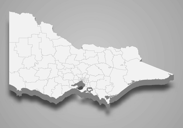
In collaboration with project partner DSM Soft, 70% of the Victoria’s land parcels have now been digitised from PDF plans and surveys. This work will be completed by February 2023.
As land parcels are digitised, this data is made available for use by the spatial and surveying industry.
The adjustment of digitised land parcels is also now accelerating — project delivery partners Spatial Vision have completed the initial adjustment of digitised parcels in 20 municipalities.
You can contact digital.cadastre@delwp.vic.gov.au to find out more about viewing adjusted parcel boundary data as they become available, or subscribe to change notices to keep up to date about upcoming changes to Vicmap products.
Stay up to date by getting stories like this delivered to your inbox.
Sign up to receive our free weekly Spatial Source newsletter.