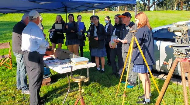
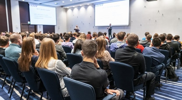
The latest Maths in Surveying Event in Sydney attracted 60 high school students...
news-2
-
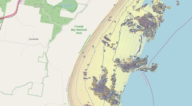
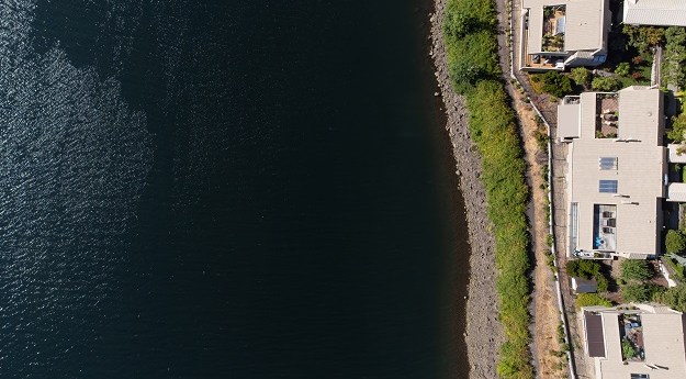
The SeaBed NSW map viewer captures the state’s entire coastline at depths of...
2022-06-08
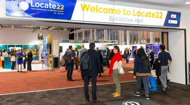
Some first impressions from a first-time attendee at the annual Locate conference.2022-06-01
Geoscience Australia is inviting stakeholder feedback on the National Positioning Infrastructure Capability program.2022-05-23
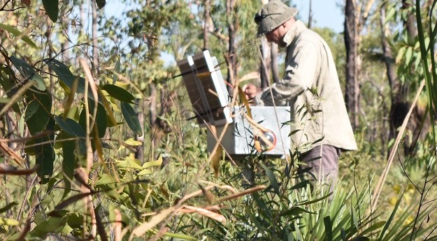
ADVERTISEMENTTERN’s Litchfield Savanna SuperSite is helping some of the biggest space missions to...2022-05-11
It takes more than software to make the most of GIS, says Onneer’s...2022-05-02
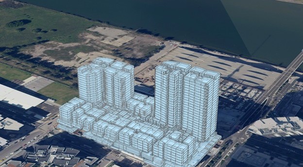
CadNSW users are now able to receive a proposed 3D Strata Plan layer...2022-04-26
Initial offering will include vertical imagery updated multiple times per year at up...2022-04-19
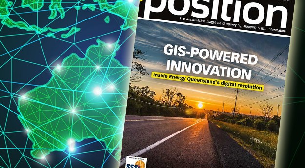
The Apr/May issue of Position is now out, with all the latest news...2022-04-13
Victoria’s DCM project is progressing, with successful data integration and digitisation of plans.2022-04-04
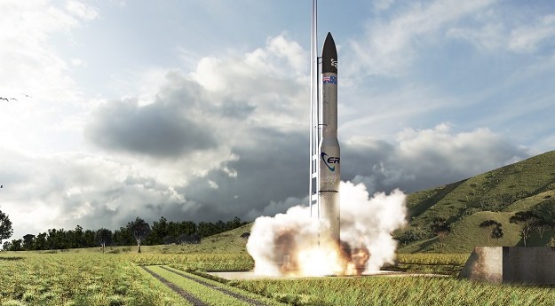
The government funding will help to advance local space manufacturing and launches from...2022-03-29
AI and ML innovators are needed to help Transport and Main Roads Queensland...2022-03-23
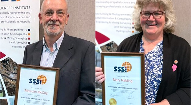
The Victorian and New Zealand ASPEA winners have been announced, along with two...2022-03-14
The surveying sector faces a number of challenges but also has a lot...2022-03-07
SSSI has organised three events to acknowledge the contributions female professionals make to...2022-03-02
The guidelines will support surveyors undertaking cadastral surveys and preparing cadastral survey datasets.2022-02-22
The funding will enable the climate technology company to scale up and expand...2022-02-14
In our new Leaders Forum, we ask experts to look ahead into 2022....2022-02-07
The deadline for submission of abstracts and workshop and Hub ideas has been...2022-02-01
In our new Leaders Forum, we ask experts to look ahead into 2022....2022-01-24
Newsletter
Sign up now to stay up to date about all the news from Spatial Source. You will get a newsletter every week with the latest news.
© 2025 Spatial Source. All Rights Reserved.
Powered by WordPress. Designed by


