

Image credit: ©stock.adobe.com/au/Anton
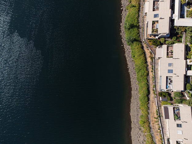
Toitū Te Whenua Land Information New Zealand has published new guidelines on water boundaries and tidal boundaries.
The aim of the new guidelines is to support surveyors undertaking cadastral surveys and preparing cadastral survey datasets (CSDs) under the Cadastral Survey Rules 2021 (CSR 2021).
The water boundaries guideline focuses on how the rules apply to different types of water boundaries to help surveyors determine the quality of boundary definition required.
A flow chart has been developed and should be the first port of call for surveyors when they have a primary parcel water boundary in their survey.
The tidal boundaries guideline supersedes the material in the Interim guideline to sea boundaries and the Marine and Coastal Area (Takutai Moana) Act 2011 (LINZG657052013).
A flow chart has been developed to help surveyors determine whether land below mean high water springs is required to be recorded as common marine and coastal area in a CSD.
The new guidelines, the associated flow charts and an index to all the published guidelines are available as follows:
Primary parcel water boundaries flow chart
Recording common marine and coastal area flow chart
Stay up to date by getting stories like this delivered to your inbox.
Sign up to receive our free weekly Spatial Source newsletter.


