

A new survey has given a major boost to efforts to map the entire seafloor by the end of the decade.
NZ Spatial Excellence Awards finalists announced
By jnally on 25 October, 2021Finalists in six industry categories have been announced, with the winners to be revealed early in 2022.
Simplifying GIS for airports
By jnally on 25 October, 2021The Melbourne Airport presents a spatial management challenge as Australia’s largest and still-growing industrial park and the nation’s second busiest airport. There’s a substantial need for data precision, volume and frequency to ensure the airport maintains operational capacity and manages the rapid development. That’s why Melbourne Airport chooses multiple spatial data services from Aerometrex. Melbourne […]
Applications open for S+SNZ Leaders Program
By jnally on 19 October, 2021Survey and Spatial New Zealand’s Emerging Leader’s Program offers exposure to policy and decision making.
NT invests $5m in ELA as NASA prepares for launch
By jnally on 19 October, 2021The NT Government has announced it is co-investing $5 million in space launch start-up, Equatorial Launch Australia.
BoM to open Space Weather Hub in Adelaide
By jnally on 18 October, 2021Australia’s Bureau of Meteorology is to open a new Space Weather Hub in 2022 at the Lot Fourteen high-tech precinct.
Landsat opportunity for Australian scientists
By jnally on 15 October, 2021A once-per-mission overlap of Landsat 8 and Landsat 9 orbits will provide a chance to compare important data.
Latest Geospatial News
View all
Join the experts to learn how using Australia’s foundational location data at scale can empower businesses.
 2022-08-25
ADVERTISEMENT

XWatch products are used to improve safety in the construction, mining and transportation markets.
2022-08-25 
Mobile mapping is revolutionising how the Hudson Pear invasive species can be located and controlled.
2022-08-24 
The document outlines the 10-year effort to upgrade the Australian Geospatial Reference System.
2022-08-23 
If approved by shareholders, the bid will pay $2.10 per share and see the company go into private hands.
2022-08-23 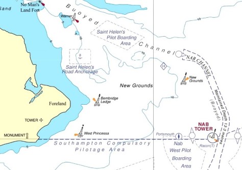
The UKHO will cease global paper chart production by 2026, and instead focus on digital products and services.
2022-08-23
ADVERTISEMENT
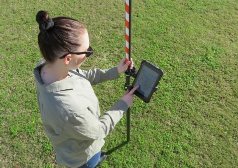
A university student project pitted four lower-cost GNSS receivers against a survey grade unit.
2022-08-22 
- Sponsored Content
Aidedo was founded based on the practical experience of CEO Aiden Tong while studying and working with many Civil Engineering and Land Surveying firms in developed countries.
2026-06-02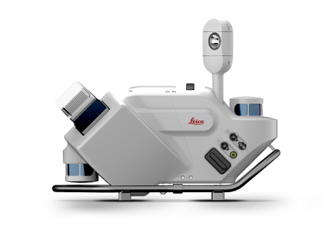
The Leica Pegasus TRK Neo is a complete, high-level mobile mapping solution that’s far easier to use.
2022-08-22 



Events
View All-
Nov 9
2026 Advancing Earth Observation Forum
 Hobart, Tasmania
-
Nov 10
SouthPAN Industry Day
Online -
Nov 13
South West and Great Southern Surveyors Conference
Mantra Bunbury Lighthouse, Bunbury, WA -
Nov 24
Locate26 Conference / 10th Digital Earth Summit
Melbourne Convention & Exhibition Centre -
Nov 30

