

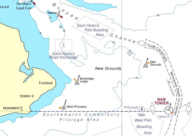
Image courtesy UKHO
The UK Hydrographic Office (UKHO) has announced its intention to cease global paper chart production by late 2026, and instead increase its focus on digital navigation products and services.
The UKHO says the plans to withdraw the portfolio of Standard Nautical Charts (SNCs) and Thematic Charts are “in response to more marine, naval and leisure users primarily using digital products and services for navigation”.
The Maritime Data Solutions digital navigation portfolio can be updated in near real-time, which, the UKHO says, greatly enhances safety of life at sea (SOLAS).
The phased withdrawal of paper chart production is expected to be completed in late 2026. Between now and then, “In parallel, we will develop viable, official digital alternatives for sectors still using paper chart products,” the UKHO says.
The Office says it “will be a carefully managed process,” conducted in liaison with customers and stakeholders, such as the Maritime and Coastguard Agency (MCA) and other regulatory bodies, hydrographic offices, industry partners and distributors.
“As we look to the future, our core purpose remains the safety of shipping operations and delivering the best possible navigation solutions to achieve that. Whether for the Royal Navy, commercial vessels or other ocean users, our focus is on developing and delivering ADMIRALTY digital services that promote safe, secure and thriving oceans,” said Peter Sparkes, the UKHO’s Chief Executive.
“We understand the significance of this announcement, given the distinguished history of the UKHO’s paper chart production and the trust that mariners have placed in ADMIRALTY charts over the generations.”
The move to digital navigation solutions has seen a rapid decline in demand for paper charts, driven by the SOLAS-mandated transition to ECDIS and the wider use of next-generation navigation services.
“Shipping is moving quickly towards a future underpinned by digital innovations, enhanced satellite connectivity at sea and optimised data solutions, supporting the next generation of navigation,” said Sparkes.
“The UKHO aims to be at the vanguard of this digital transition, continuing to provide the assured and globally trusted ADMIRALTY navigation services that seafarers the world over depend on.”
“The MCA recognises the benefits of official digital navigation products for safe navigation, at a time when paper products make up a minority of navigation products being used at sea,” added Richard Bell, Assistant Director for UK Technical Services Navigation at the MCA.
“This announcement by UKHO represents a clear vision for the future of navigation, which will need to be supported by official equipment and data suited to the needs of the different maritime end users.”
Stay up to date by getting stories like this delivered to your inbox.
Sign up to receive our free weekly Spatial Source newsletter.


