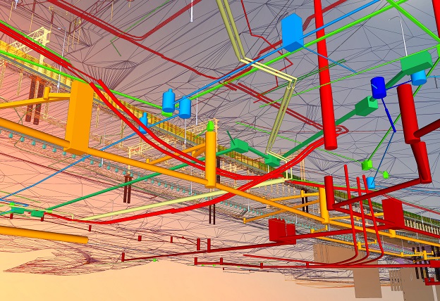
Image credit: ©stock.adobe.com/au/black_mts
Standards Australia has published a revised draft standard for subsurface utility information and engineering.
By Craig Roberts
For 230-plus years we have been placing utility infrastructure in the ground across Australia. But it’s really been in only the last few decades that we have begun to take notice of where all these pipes and conduits are located. This is needed for a number of reasons: so we can find them again, to plan better projects or to avoid construction disasters.
This need was the motivation for the AS_5488 Classification of Subsurface Utility Information/Engineering Australian Standard.
It all began in the NSW Surveying and Mapping Industry Council (SMIC), the peak body for surveying and mapping in NSW, under the drive and motivation of Mark Gordon and Greg Livingstone. The initial standard was launched in 2013 with an update in 2019.
But with the establishment of the new GDA2020 datum and the associated National Positioning Infrastructure (NPI), a revised 2021 standard has been drafted and is now open for public comment.
The standard comes in two parts: Part 1: Information (and this is largely geospatial information) and Part 2: Engineering (engineering management).
There have been several changes since 2019; significantly, recognition of GDA2020 as the national “Recognised-Value Standard of measurement of position” supporting legal traceability of positioning.
With the confluence of datum modernisation, low-cost multi-GNSS, national CORS expansion, the forthcoming SouthPan (SBAS) and the promise of the Ginan PPP service, the AS_5488 standard will be future proofed to support utility location using robust, accurate and simple satellite positioning.
If you work in the utilities location industry and recognise the huge advantage offered by modern satellite positioning, please have your say.
Go to https://www.standards.org.au/, scroll down to Public Comment, register with an email and a password and search for 5488. You’ll find two draft documents: DR_AS_5488.1_2021 and DR_AS_5488.2_2021.
Click the link to download the drafts. You can submit comments online, section by section.
Public comments close on 16 December 2021.
Craig Roberts is Senior Lecturer in the School of Civil and Environmental Engineering at the University of NSW.
Stay up to date by getting stories like this delivered to your inbox.
Sign up to receive our free weekly Spatial Source newsletter.


