

Leica’s Pegasus TRK500/700 Neo solution brings autonomy, intelligence and simplicity to mobile mapping.
Transportable commercial drone
By jnally on 17 June, 2022The DJI Matrice 30 drone integrates multiple high-performance sensors into a single camera payload.
Interview: Greg Tyrrell, CEO, AAUS
By jnally on 15 June, 2022Australia’s drone sector is flourishing, but many technological and regulatory challenges remain.
US NGA makes LandScan data open and free
By jnally on 14 June, 2022LandScan Global and LandScan High-Definition data sets are now publicly free for the first time.
WA’s SPUR program offering $25,000 grants
By jnally on 14 June, 2022Landgate’s SPUR Location Grants Program aims to help small businesses meet the up-front costs of expansion.
Nominations open for the 2022 APSEAs
By jnally on 9 June, 2022The awards recognise outstanding individuals and organisations within the surveying and spatial sector.
Latest Geospatial News
View all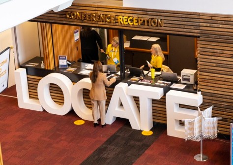
Spatial and space industry delegates will gather in Adelaide in May for Australia’s leading geospatial event.
 2023-03-30
ADVERTISEMENT

Developments such as SouthPAN and GNSS are enabling higher positioning accuracy in tricky environments.
2023-03-28 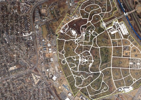
NV5 has acquired Axim Geospatial, a provider of geospatial solutions to the defence and utilities sectors.
2023-03-27 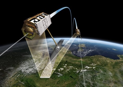
With a 50-year legacy, Digital Terrain Elevation Data inches towards its next goal: 10-metre post spacing.
2023-03-27 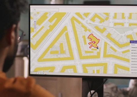
The change will give customers a personalised experience when accessing the OS National Geographic Database.
2023-03-24 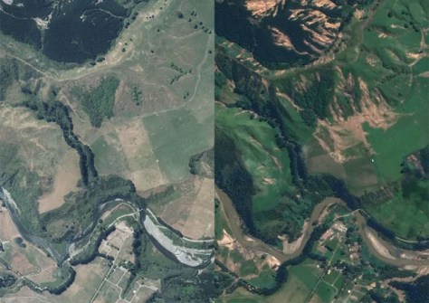
A birds-eye view of Cyclone Gabrielle’s impact on NZ’s North Island east coast is now available online.
2023-03-24
ADVERTISEMENT

The future of positioning, navigation and timing systems were on the agenda at the IGNSS conference.
2023-03-23 
- Sponsored Content
Aidedo was founded based on the practical experience of CEO Aiden Tong while studying and working with many Civil Engineering and Land Surveying firms in developed countries.
2026-06-02
Keith Bentley will step down as Chief Technology Officer in April, with Julien Moutte to take over the role.
2023-03-17 



Events
View All-
Nov 9
2026 Advancing Earth Observation Forum
 Hobart, Tasmania
-
Nov 10
SouthPAN Industry Day
Online -
Nov 13
South West and Great Southern Surveyors Conference
Mantra Bunbury Lighthouse, Bunbury, WA -
Nov 24
Locate26 Conference / 10th Digital Earth Summit
Melbourne Convention & Exhibition Centre -
Nov 30

