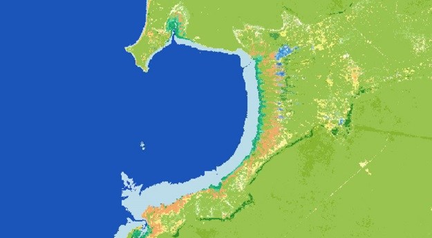
Digital Earth Africa’s Waterbodies Monitoring Service provides time series EO for 700,000-plus water...
digital earth australia
-
Users are now able to combine several Digital Earth Australia datasets with Google...
2024-04-30
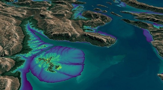
Incorporating Landsat and Sentinel-2 data, it provides an annual 10m elevation product of...2024-04-11
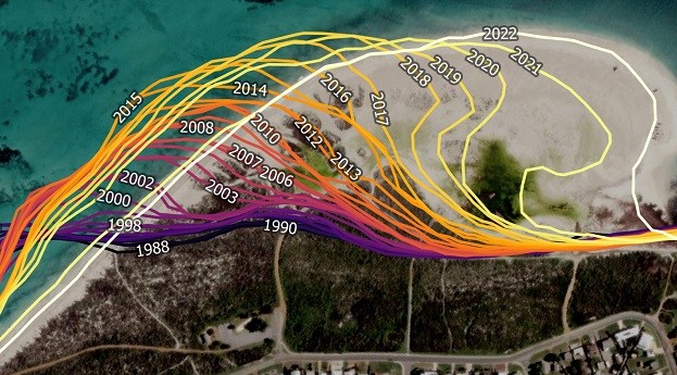
DEA Coastlines combines satellite data and tidal modelling to produce an annual map...2023-08-25
ADVERTISEMENTEOIs are now open for demonstrator projects harnessing Earth observation data under the...2019-04-03
Strategy aims to help Australian businesses harness satellite data, target investment in DEA...2019-03-21
Significant updates to DEA’s NationalMap make a suite of new data products public.2019-01-09
Geoscience Australia and FrontierSI launch a national workshop series to shape the future...2018-10-10
The new centre will coordinate Earth observation activities within CSIRO, other agencies and...2018-06-13
The first continent-wide intertidal zone extent map for the whole of the Australian...2017-06-07
Newsletter
Sign up now to stay up to date about all the news from Spatial Source. You will get a newsletter every week with the latest news.
The new 3D function has been formed through overlaying high-...Looking back on his 30 years of career accomplishments with ...The Australian Geospatial-Intelligence Organisation is invit...The Terrestrial Ecosystem Research Network is conducting a n...Drones and street cameras have been used to map Tuvalu’s c...HP SitePrint from Aptella automatically prints plans directl...© 2024 Spatial Source. All Rights Reserved.
Powered by WordPress. Designed by


