The UK has developed a new strategy that sets out a 10-point plan to achieve PNT resilience and security.

Interview: Chris Rizos on the role of geodesy
Geodesy supports surveying and science, yet it’s misunderstood, underappreciated or overlooked entirely, says Chris Rizos.
Read moreInsights
View All-
 Terrestrial scanning solution from Emlid and PIX4D accelerates data capture for construction and utilities
 -
 Reduce survey costs with HubX by Sphere Drones
 -
 Locate24 Full Program Released | Register now!
 -
 Drones adoption continues to soar: 60 million commercial flights by 2043, saving Australian businesses over $10 billion.
Latest Geospatial News
View all
ADVERTISEMENT
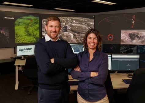
The WA Government is tipping in an extra $5m to help enhance the Perth-based space operations facility.
 2023-11-03
The five-year funding will enable the organisation to tackle some of the biggest challenges facing Australia.
 2023-11-02
Submissions open on 2 November for abstracts and workshop ideas, as well as support grants for YPs and ECRs.
 2023-11-01
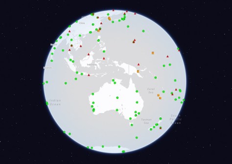
The International GNSS Service guidelines are for owners and operators of IGS tracking network CORS.
 2023-11-01
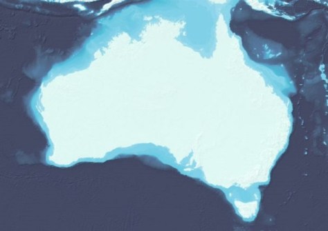
More than 1,500 individual surveys have been combined to reveal the seafloor surrounding Australia.
 2023-10-31
ADVERTISEMENT
RapidMap now offers the Smart Street 360 which is a rapid deployment panorama camera capture GNSS solution to create personalised Spatially accurate Street Views efficiently. Ideal for Local Government, use for roadside assessments pre and post disaster or simply to record the current condition of shared paths, sealed and unsealed roads.
 2023-11-01
Lisa Bush’s geospatial career has taken her from military mapping to leading the development of civilian systems.
 2023-10-30
 Cool Tools
View All-
 Terrestrial scanning solution from Emlid and PIX4D accelerates data capture for construction and utilities
 -
 Reduce survey costs with HubX by Sphere Drones
 -
 Locate24 Full Program Released | Register now!
 -
 Drones adoption continues to soar: 60 million commercial flights by 2043, saving Australian businesses over $10 billion.
Events
View All-
May 7
Locate24
 International Convention Centre, Sydney
 -
May 7
New Zealand: Digital Twin 2024 Summit
 Mövenpick Hotel Auckland, New Zealand
 -
May 9
4th International Symposium on Applied Geoinformatics 2024
 Wroclaw University of Science and Technology, Wroclaw, Poland
 -
May 13
Geospatial World Forum 2024
 Rotterdam, The Netherlands
 -
May 19
FIG Working Week 2024
 La Palm Royal Beach Hotel, Accra, Ghana


