

On behalf of CSIRO, Canberra-based Geospatial Intelligence will present a series of NovaSAR-1 virtual workshops.
Galileo commences 20cm High Accuracy Service
By jnally on 7 February, 2023The improved accuracy comes courtesy of real-time corrections delivered within the existing Galileo signal.
Precisely acquires location intelligence firm, Transerve
By jnally on 6 February, 2023The acquisition aims to give data-centric workers more access to location data without the need for GIS expertise.
Esri signs Earth science data agreement with NASA
By jnally on 6 February, 2023More NASA-published Earth science data will be made available via Esri’s ArcGIS Living Atlas of the World.
Photogrammetry and Lidar. Complimentary Mapping Technologies
By SS Advertiser on 1 February, 2023With the advent of drones and their flight limitations, photogrammetry and lidar are being combined more frequently into a hybrid mapping solution. If merged correctly, these two technologies bring complementary advantages.
GeoConnect Asia 2023
By SS Advertiser on 1 February, 2023The third edition of Geo Connect Asia on the 15th & 16th March in Singapore provides the opportunity to focus on how digital construction and geospatial-based solutions can drive productivity across the building and construction industries. Geo Connect Asia celebrates the return to a normal meeting environment, in March in Singapore, combining an exhibition of […]
Michele Allan appointed Chair of SmartSat CRC
By jnally on 31 January, 2023Dr Allan replaces Dr Peter Woodgate, who sadly passed away in December last year.
US NGA awards contracts to Maxar Technologies
By jnally on 31 January, 2023Worth up to US$35.8 million, the contracts encompass cloud-based imagery and API projects.
Latest Geospatial News
View all
The UK Hydrographic Office has donated £1.6 million worth of tech to Ukraine’s State Hydrographic Service.
 2023-10-10
ADVERTISEMENT
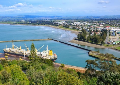
Coverage will extend up to 4 nautical miles from the coast and up to 80 metres deep in some places.
2023-10-10 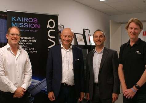
SSTL will provide space systems expertise and help to uplift the skill set of QuantX Labs’ engineering team.
2023-10-09 
Samuel Thompson, a surveying student at Otago University, has been awarded the Scholarship for 2023.
2023-10-06 
The GCA and TAFE NSW are researching training and workforce development in surveying and GIS.
2023-10-05 
The organising committee is seeking presentations that highlight new technologies and provide R&D insight.
2023-10-04
ADVERTISEMENT
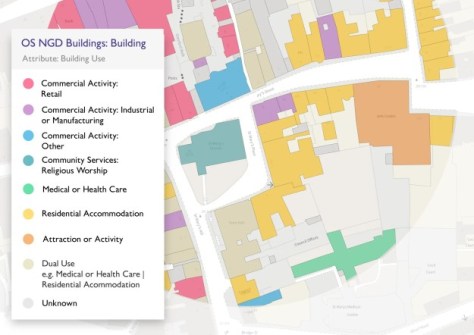
The update includes building data geometry and usage, as well as railway and footpath network data.
2023-10-04 
- Sponsored Content
Aidedo was founded based on the practical experience of CEO Aiden Tong while studying and working with many Civil Engineering and Land Surveying firms in developed countries.
2026-06-02
The scholarships, up to a maximum of NZ$5,000, aim to encourage students to take up geospatial studies.
2023-10-04 



Events
View All-
Nov 9
2026 Advancing Earth Observation Forum
 Hobart, Tasmania
-
Nov 10
SouthPAN Industry Day
Online -
Nov 13
South West and Great Southern Surveyors Conference
Mantra Bunbury Lighthouse, Bunbury, WA -
Nov 24
Locate26 Conference / 10th Digital Earth Summit
Melbourne Convention & Exhibition Centre -
Nov 30

