The two primary means of aerial mapping are photogrammetry and lidar. Photogrammetry, being the more mature of the two, is based on solving for the geometry of overlapping images to create a cohesive representation of the surface below. Lidar relies on a laser firing thousands of pulses rapidly in a pattern over the surface below, using precise location to correct the position of those pulses which are converted to points.
Photogrammetry brings the unique value of instant interpolation through imagery: features are easily identifiable because you are looking at an image. Lidar has the advantage of multiple pulse returns, which allow for the classification of points based on algorithms to better determine ground under vegetation. This is extremely valuable in projects where dense vegetation obscures the ground. With either technology, an accurate mapping deliverable can be produced given that the limitations of the technology used are considered.
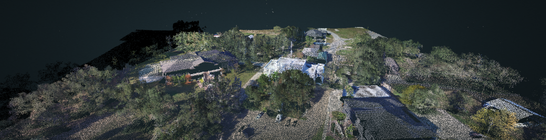
With the advent of drones and their flight limitations, these two technologies are being combined more frequently into a hybrid mapping solution. Imagery and lidar are captured either simultaneously or separately over the same site, then fused together. This allows the mapping professional to generate a surface with more relevant ground coverage, yet still capitalize on the visual interpretation of imagery from photogrammetry by creating a colorized point cloud.
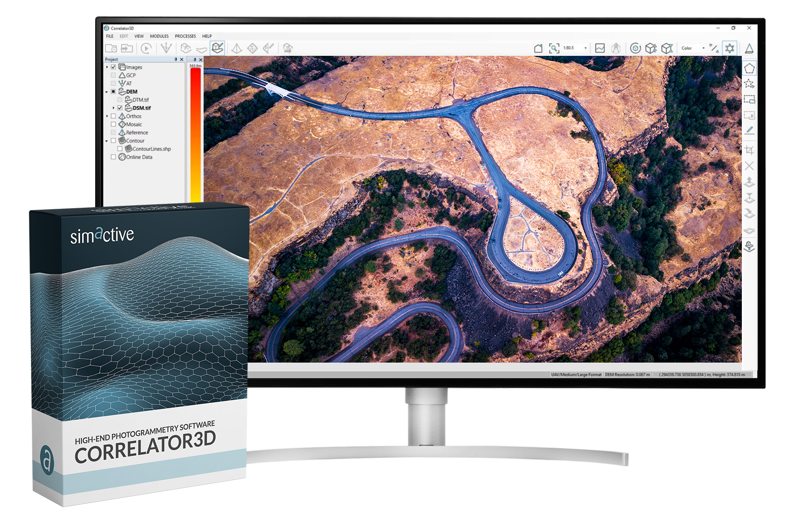
Once data are collected, the biggest challenge in merging lidar with imagery is to make sure they are co-registered correctly. SimActive’s Correlator3D software facilitates this by using the lidar itself as control. This process aids in the alignment of the imagery to the lidar in aerial triangulation. Once perfect registration is achieved, both an orthomosaic and a colorized point cloud can be exported. To learn more, visit www.simactive.com.