

Version 3 has a simplified software configuration, improved positioning and other performance improvements.
Registrations open for the Locate24 Conference
By jnally on 5 February, 2024The event will be held at Sydney’s Darling Harbour and will include the Geospatial Excellence Awards ceremony.
Stewart Dunne joins Geospatial Council’s board
By jnally on 5 February, 2024Dunne, the former Hydrographer of Australia, becomes a new, independent non-executive GCA Director
Countering GNSS spoofing and jamming
By jnally on 5 February, 2024A European aviation workshop has agreed on measures to make GNSS PNT services more resilient.
Photogrammetry in the cloud: is it a good idea?
By SS Advertiser on 2 February, 2024Optimization of workflows and processing speed often lead to the discussion of cloud processing. Of course, many traditional mapping projects can be processed using local machines. Networking them to facilitate distributed processing can speed things up even more, but there can be scenarios where cloud processing is desired. It is often thought of as a […]
LOCATE24 Registrations now open
By SS Advertiser on 1 February, 2024Registrations for the upcoming Locate24 conference are officially open! The Locate24 Conference, scheduled to take place from the 7th – 9th of May, 2024 will allow geospatial professionals to share their knowledge, discuss emerging trends, and showcase cutting-edge technologies that are shaping the future of geospatial services. Hosted at the International Convention Centre in Sydney, […]
SmartSat and NZSA sign space growth MOU
By jnally on 31 January, 2024The agreement with New Zealand will see up to NZ$6m made available for joint projects in EO and other areas.
Latest Geospatial News
View all
Britain’s national mapping body says it wants to use AI effectively but responsibly to drive positive change.
 2024-07-23
ADVERTISEMENT
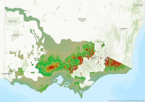
The new DEM covers 60% of Victoria and provides a 100x improvement in detail over the 10m DEM.
2024-07-23 
Target markets for the mobile platform include resources, mining, construction and emergency services.
2024-07-22 
The re-constructed baseline in Melbourne’s eastern suburbs features eight pillars along a 593m reserve.
2024-07-18 
Luh Shyang Loo, a 25-year Fugro veteran, will commence in his new role on 1 October 2024.
2024-07-18 
The 2024 Sol Katz Award for Free and Open Source Software for Geospatial will be awarded in December.
2024-07-17
ADVERTISEMENT
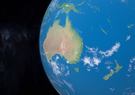
The Forum will bring the community together to collaborate on common drivers of geospatial programs.
2024-07-17 
- Sponsored Content
Aidedo was founded based on the practical experience of CEO Aiden Tong while studying and working with many Civil Engineering and Land Surveying firms in developed countries.
2026-06-02
The Surveyors Board of Queensland has issued a reminder that only Registered Surveyors can issue such certifications.
2024-07-16 



Events
View All-
Nov 9
2026 Advancing Earth Observation Forum
 Hobart, Tasmania
-
Nov 10
SouthPAN Industry Day
Online -
Nov 13
South West and Great Southern Surveyors Conference
Mantra Bunbury Lighthouse, Bunbury, WA -
Nov 24
Locate26 Conference / 10th Digital Earth Summit
Melbourne Convention & Exhibition Centre -
Nov 30

