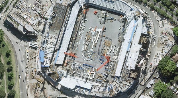
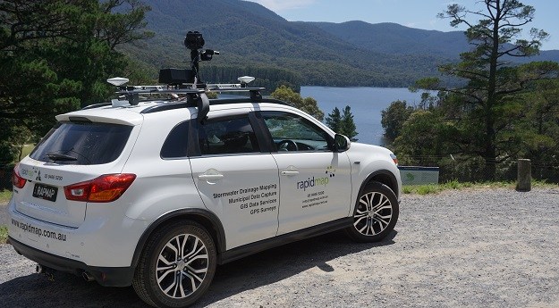
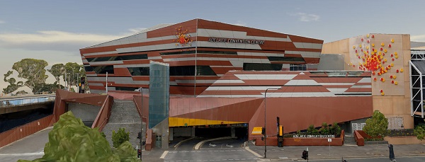
MetroMap gives access to super high-resolution and accurate imagery covering more than 8.5m...
Insights
-
The efficient delivery of services using fewer resources will require an ever-evolving geospatial...
2022-07-05
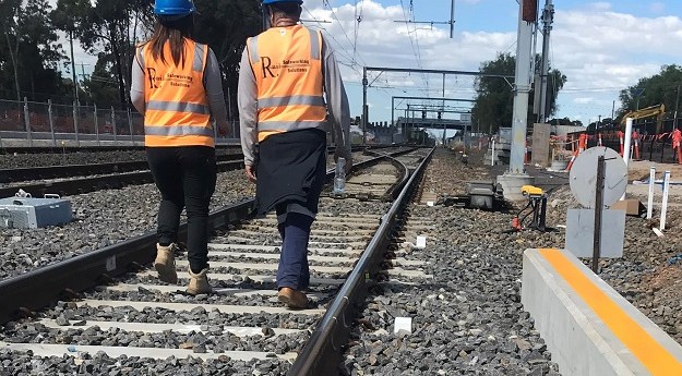
Wireless tilt meters are revolutionising survey monitoring work on many of Australia’s railway...2022-05-09
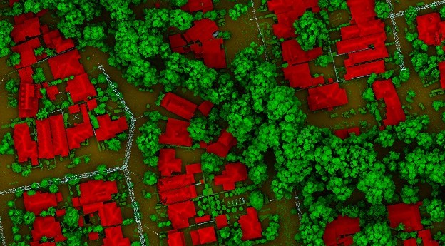
LiDAR is the most precise way to measure tree canopies and gauge changes...2022-05-03
ADVERTISEMENTThe Aerial view As a leading practitioner of aerial imagery and mapping, 3D...2022-04-01
Carlson SurvPC Vs6 Hybrid+ enables working with mixed brands of GNSS and RTS....2022-04-01
With no need for recurring and expensive subscriptions, real-time corrections for RTK surveys...2022-04-01
MetroMap’s high-resolution aerial imagery and measuring tools are a game-changer for outdoor event...2022-03-14
In this webinar from 3 March 2022, Bentley Systems launches the most complete...2022-03-09
Leica’s innovative new RTK rover, the GS18 I, is opening up new possibilities...2022-03-07
While there are still devices incompatible with iOS, Eos Positioning Systems (Eos) continues to...2022-02-02
As technology pushes us further into the digital world, the ability to accurately...2022-02-01
Handling large mapping projects, meeting deadlines and delivering high-quality results are typical challenges...2021-11-02
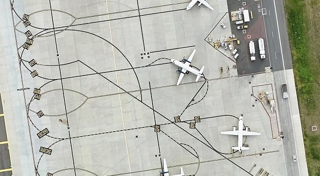
The Melbourne Airport presents a spatial management challenge as Australia’s largest and still-growing...2021-10-25
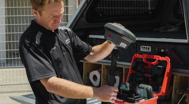
Surveying often means remote work — and specialised vehicles to get there. If...2021-09-09
Geospatial tech company Aerometrex has developed a way to identify and measure living...2021-09-02
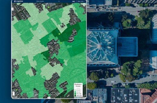
At Mapidea, we want organisations to use geography as an instrument for making...2021-09-02
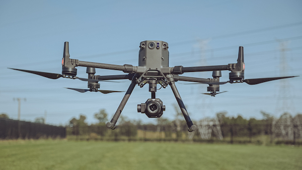
The long flight time of the Matrice 300 combined with the new 45...2021-08-08
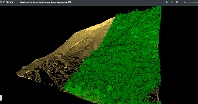
ScanX is a web-based point cloud processing platform that helps speed up the...2021-08-03
Spatial experts and world leaders in 3D modelling, Aerometrex have years of experience...2021-06-25
Newsletter
Sign up now to stay up to date about all the news from Spatial Source. You will get a newsletter every week with the latest news.
© 2025 Spatial Source. All Rights Reserved.
Powered by WordPress. Designed by


