The hugely successful MAGNET Office CAD workflow solution will soon be upgraded to...
Insights
-
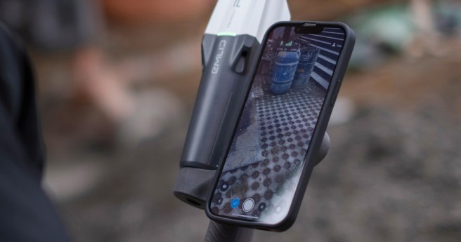
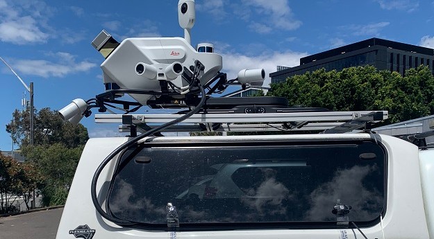
Demand for fast and efficient terrestrial data collection is growing across the industries,...
2024-05-01
A recent Federal Government study by Deloitte Access Economics highlighted the immense economic...2024-04-15
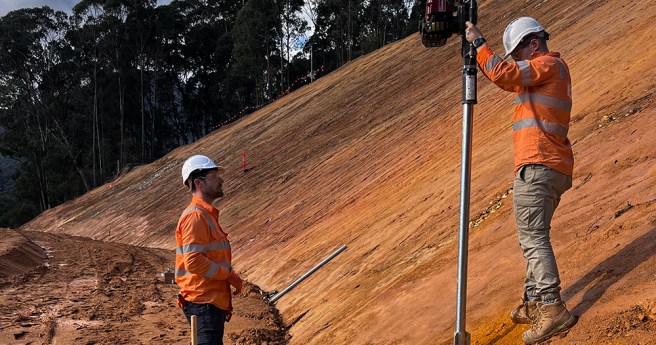
New technology means that governments and surveyors can leverage reliable and cost-effective continuous...2024-03-06
ADVERTISEMENTOptimization of workflows and processing speed often lead to the discussion of cloud...2024-02-02
Registrations for the upcoming Locate24 conference are officially open! The Locate24 Conference, scheduled...2024-02-01
Join Eric Andelin, Senior Workflow Specialist and Bill Johnson, Certified Photogrammetrist and Certified...2023-11-15
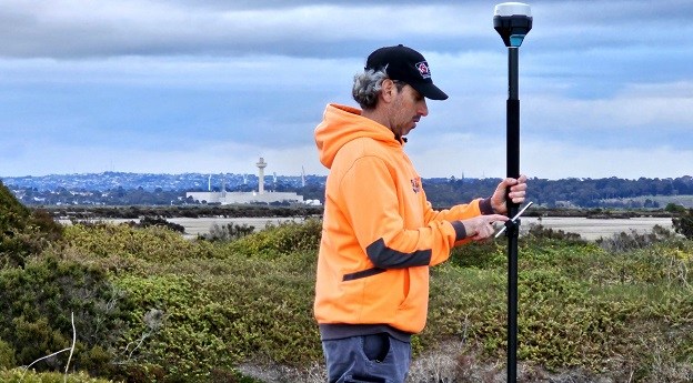
A highly affordable GNSS receiver has become a game-changer for those in the...2023-10-24
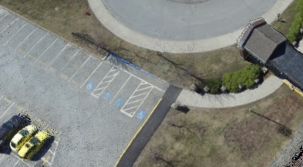
Pixels to Points within Global Mapper Pro creates photo-textured 3D models, orthoimages and...2023-10-19
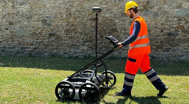
Multi-channel ground penetrating radar is uncovering new possibilities for surveying companies.2023-10-17
The Emlid Reach RS3 with IMU tilt compensation allows you to stake out...2023-10-01
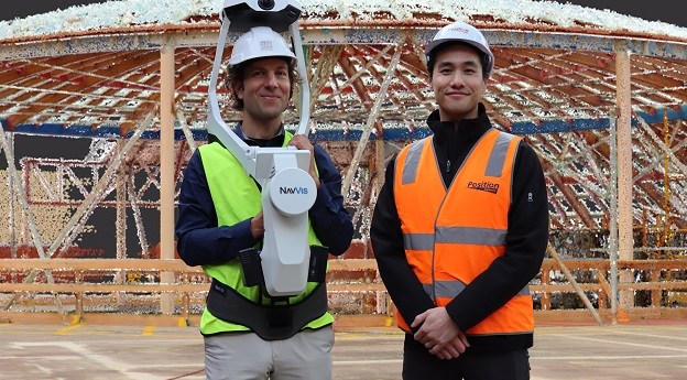
Tasmanian engineering firm Gandy and Roberts is winning over clients using the NavVis...2023-08-28
The story of the development of an intelligent positioning sensor technology, known as...2023-08-22
How C.R. Kennedy and Leica Geosystems helped an Australian firm grow from a...2023-08-14
Drones with precise positioning, such as RTK/PPK, are becoming common with those using...2023-07-05
How the 3D laser scanning industry stands to benefit from hybrid reality capture.2023-06-19
The Leica Geosystems BLK2GO handheld imaging laser scanner is making ‘impossible’ jobs a...2023-06-12
The highly affordable Emlid Reach RS2+ multi-band RTK GNSS receiver is working wonders...2023-06-01
Backed by more than 100 years of geospatial innovation, the time has come...2023-05-08
The Leica Geosystems Pegasus TRK vehicle-mounted scanner is making surveying safer and more...2023-04-24
Newsletter
Sign up now to stay up to date about all the news from Spatial Source. You will get a newsletter every week with the latest news.
© 2025 Spatial Source. All Rights Reserved.
Powered by WordPress. Designed by


