This issue has it all: Rescuing reefs, mapping forests, tackling urban heat, digital...
LiDAR
-
A new study highlights the accuracy of satellite-derived bathymetric datasets in coastal environments.
2025-04-16
Klau Geomatics’ Stockpiler bulk materials management system is for use in the handling...2025-03-18
AI and 3D airborne LiDAR have been used to map radiata pine forests...2025-02-18
ADVERTISEMENTBlue Marble Geographics recently debuted its Global Mapper Pro version 26.0 with exciting...2024-11-28
The NavVis MLX lightweight, ergonomic instrument is a significant advance in the field...2024-11-08
The MLX delivers point cloud data captured by a 32-layer LiDAR sensor and...2024-09-20
The new 3D function has been formed through overlaying high-resolution images over elevation...2024-09-18
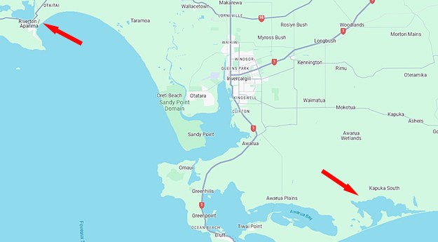
New Zealand’s Southland region is now LiDAR-mapped to 8m resolution in rural zones...2024-08-27
Read about WA’s digital twin, aerial LiDAR mapping, protecting underground infrastructure, urban planning...2024-06-18
The campaign will produce detailed 3D maps of the seafloor and coastline between...2024-04-24
The City of Sydney has set targets to grow a cooler, more diverse,...2024-04-01
The IRIDESENSE 3D multispectral LiDAR sensor can analysing plant health and soil humidity...2024-03-20
The Brumby LiDAR rapidly produces point clouds by removing the typically arduous post-processing...2024-02-26
In our annual Leaders Forum, we ask the experts to look ahead into...2024-01-10
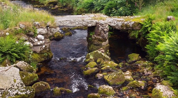
Data from the UK’s National LiDAR Programme has shown that not all Roman...2023-10-03
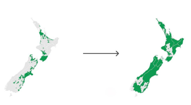
The release of 3D mapping data for Waikato and Southland means more than...2023-08-15
The solution will use LiDAR and aerial data capture report powerline conductor ground...2023-08-04
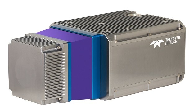
Teledyne Geospatial CL-360 marine LiDAR sensor that can be integrated with high-resolution multibeam...2023-07-25
The Leica Geosystems BLK2GO handheld imaging laser scanner is making ‘impossible’ jobs a...2023-06-12
Newsletter
Sign up now to stay up to date about all the news from Spatial Source. You will get a newsletter every week with the latest news.
© 2025 Spatial Source. All Rights Reserved.
Powered by WordPress. Designed by


