

WA-based K2fly is an ASX-listed provider of resource governance solutions for ESG compliance.
Group on Earth Observations joins disaster network
By jnally on 4 May, 2022The Risk-informed Early Action Partnership aims to make 1 billion people safer by 2025.
Interview: Ben Berghauser, Onneer
By jnally on 2 May, 2022It takes more than software to make the most of GIS, says Onneer’s managing director, Ben Berghauser.
Vendor Focus: DISP
By jnally on 2 May, 2022In the lead up to Locate22 conference, we’re highlighting some of the vendors you’ll be able to meet.
Monitoring Construction with Drones
By SS Advertiser on 1 May, 2022The pandemic we are currently experiencing has changed the way we work. As remote work has become a common practice, so did remote construction site monitoring. Another effect of the pandemic is a construction boom related to the onshoring of vital products to solve global supply chain issues. A very effective way to monitor construction […]
Topcon 3D machine control for use with Cat Assist
By jnally on 29 April, 2022Topcon has a new option for Caterpillar Next Gen users to leverage 3D machine control with Cat Assist features.
Latest Geospatial News
View all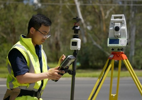
Leica Geosystem’s new AP20 AutoPole with tilt compensation is providing huge productivity improvements.
 2023-02-27
ADVERTISEMENT
Land development engineers and engineering surveyors will be the first to be certified under the new system.
2023-02-23 
The testing included noise, vibration, electromagnetic and radio frequency compatibility checks.
2023-02-22 
Canberra’s new Low Earth Orbit Satellite Working Group has identified four key areas for attention.
2023-02-22 
They’re aimed at potential surveying and spatial information teachers doing their Cert IV in Training & Assessment.
2023-02-22 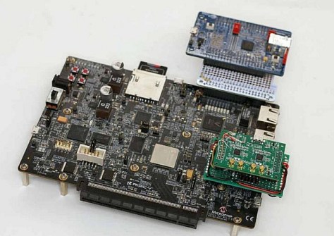
The new receiver accepts multi-frequency signals from GPS and Galileo, and is suitable for reflectometry.
2023-02-21
ADVERTISEMENT

Sixteen NATO members plus Finland and Sweden, aim to transform the way NATO gathers and uses data from space.
2023-02-20 
- Sponsored Content
Aidedo was founded based on the practical experience of CEO Aiden Tong while studying and working with many Civil Engineering and Land Surveying firms in developed countries.
2026-06-02
The working group aims to create frameworks to make privately owned ocean science data publicly available.
2023-02-20 



Events
View All-
Nov 9
2026 Advancing Earth Observation Forum
 Hobart, Tasmania
-
Nov 10
SouthPAN Industry Day
Online -
Nov 13
South West and Great Southern Surveyors Conference
Mantra Bunbury Lighthouse, Bunbury, WA -
Nov 24
Locate26 Conference / 10th Digital Earth Summit
Melbourne Convention & Exhibition Centre -
Nov 30

