


The new modular prototype dual-frequency, dual-system GNSS receiver. Courtesy ACSER.
Researchers at the Australian Centre for Space Engineering Research (ACSER) at the University of New South Wales have developed a new, advanced receiver that accepts signals from the GPS and Galileo constellations, across multiple frequencies.
The device is an evolutionary upgrade of an earlier generation of receiver, called Kea.
Made in Australia and New Zealand, Kea was a single-frequency GPS receiver and one of the first locally made units of its kind to be proven in spaceflight (aboard the UNSW-ECO cubesat).
Development of the new receiver was led by Professor Andrew Dempster, Director of ACSER.
“The idea was to take that work (on Kea) and upgrade it for this multi-frequency, multi-system solution,” Professor Dempster says.
“We needed to scale up the performance of many of the components on the boards — in particular, where the digital processors and hardware live.”
The result is a receiver capable of GNSS reflectometry, which uses signals reflected from the Earth’s surface to study environmental conditions over land and sea.
Potential users of this capability include the defence, construction, mining, logistics and agriculture sectors, as well as mobile navigation services.
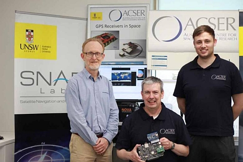
Andrew Dempster, Eamonn Glennon and Michael Rohrbach from ACSER. Photo credit: Cheryl Brown.
ACSER hopes the locally designed receiver will reduce dependence on imported receivers, while also having strong export potential.
It can benefit satellite missions by providing precise positioning, timing and velocity information, enabling orbiting Earth observation instruments to produce higher quality images.
“Dual-frequency GNSS receivers have been around for a long time, but dual-frequency reflectometry instruments have not,” Professor Dempster says. “Our receiver has been made much more functional and capable by using the two signals.”
“People aren’t using (reflectometry instruments) too much in space. That’s where we are hoping to do something new and original.”


