

MetroMap gives access to super high-resolution and accurate imagery covering more than 8.5m dwellings.
Spatial’s rising role in public asset management
By jnally on 5 July, 2022The efficient delivery of services using fewer resources will require an ever-evolving geospatial ecosystem.
Report outlines geospatial workforce challenges
By jnally on 5 July, 2022Geospatial skills are evolving from a niche skill set to a wider ecosystem of data and digital skills.
Shining a spotlight on bushfire monitoring
By jnally on 5 July, 2022The Digital Earth Australia Hotspots program uses near-real-time satellite imagery to detect and monitor fires.
Mitsui & Co increases stake in Position Partners
By jnally on 1 July, 2022Mitsui & Co, through its Australian and Japanese entities, is now the firm’s majority shareholder.
Five-year deal for electrical network digital twin
By jnally on 28 June, 2022The project will use LiDAR and imagery to scan Denmark’s 3000-line-kilometre electricity network.
Lift off for the National Space Mission
By jnally on 28 June, 2022Australia’s National Space Mission for Earth Observation has been promised $1.16 billion out to 2039.
Latest Geospatial News
View all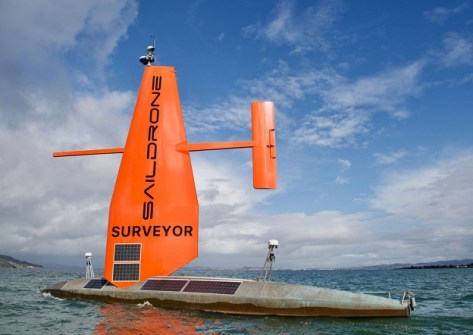
The 20-metre-long craft can undertake autonomous bathymetric data collection for navigation and charting.
 2023-04-18
ADVERTISEMENT
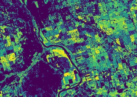
The Canadian company will take part in this year’s Venture Catalyst Space program, delivered by UniSA’s ICC.
2023-04-17 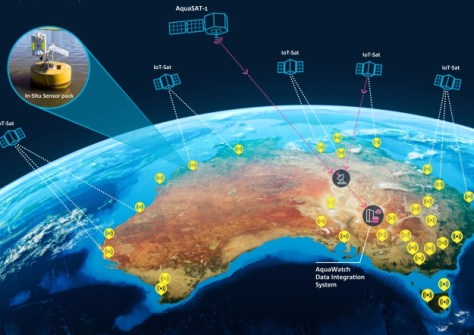
Data from EO satellites will be merged with ground-based sensors to monitor and forecast water quality.
2023-04-17 
In the run up to the Locate conference in May, we’re highlighting some of the companies you’ll be able to meet.
2023-04-14 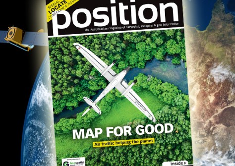
The Apr/May2023 issue of Position magazine is out now, packed full of all the latest geospatial news.
2023-04-13 
Following the SSSI and SIBA|GITA merger, the GCA has begun representing Australia’s geospatial experts.
2023-04-12
ADVERTISEMENT
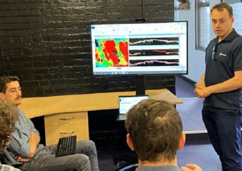
The companies are developing the talents of neurodiverse people to meet the demand for data analysis.
2023-04-12 
- Sponsored Content
Aidedo was founded based on the practical experience of CEO Aiden Tong while studying and working with many Civil Engineering and Land Surveying firms in developed countries.
2026-06-02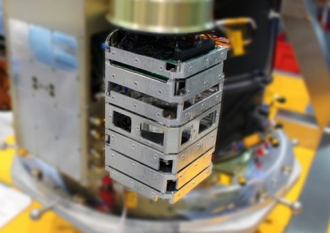
It is said to be the most powerful space-edge computer ever built and Australia’s first such operational computer.
2023-04-11 



Events
View All-
Nov 9
2026 Advancing Earth Observation Forum
 Hobart, Tasmania
-
Nov 10
SouthPAN Industry Day
Online -
Nov 13
South West and Great Southern Surveyors Conference
Mantra Bunbury Lighthouse, Bunbury, WA -
Nov 24
Locate26 Conference / 10th Digital Earth Summit
Melbourne Convention & Exhibition Centre -
Nov 30

