

The new Simpson Desert Indigenous Protected Area adds more than 4.7m hectares to the National Reserve System.
NSW Native Vegetation Regulatory map to take effect
By jnally on 28 July, 2026The map will come into force on 31 August and will show how native vegetation rules apply to properties.
Sydney wins bid to host the ISPRS 2029 Congress
By jnally on 23 July, 2026The choice to hold the Congress in Sydney in September 2029 was announced at this year’s event in Toronto.
Huge airborne geophysics survey for the Top End
By jnally on 23 July, 2026The Pine Creek and Cape Scott surveys will acquire high-resolution data across almost 47,000 square kilometres.
nxzen wins Forestry Corporation LiDAR contract
By jnally on 23 July, 2026The company will deliver aerial LiDAR and four-band imagery across areas of plantation estate in northern NSW.
Another wishy-washy government space statement
By jnally on 23 July, 2026Canberra has released a ‘Statement on Space’ that is big on buzzwords but short on details and specifics.
Connecting geospatial innovation to real-world impact
By jnally on 21 July, 2026Our profession’s future needs not only better tech, but stronger leadership, collaboration and research translation.
Latest Geospatial News
View all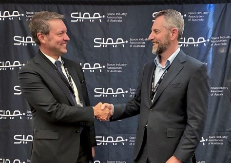
The companies aim to support Australian Defence Force and national intelligence community situational awareness.
 2026-08-13
ADVERTISEMENT
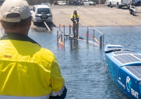
The company, which has six offices in Australia, will contribute to the global ocean floor mapping project.
2026-08-13 
ANZLIC says the value of geospatial is now easier to see; it is economic, strategic and focused on outcomes.
2026-08-11 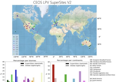
Twelve Australian locations have been included in the CEOS list of satellite calibration/validation supersites.
2026-08-11 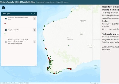
The centralised resource aims to benefit poultry producers, vets, wildlife carers and the wider community.
2026-08-11 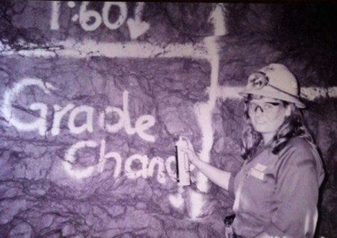
The scholarship honours a highly respected professional who blazed a trail for other women in surveying.
2026-08-11
ADVERTISEMENT
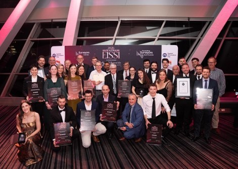
Individuals and firms were recognised with honours at the South Australian awards in Adelaide on Friday night.
2026-08-11 
- Sponsored Content
Aidedo was founded based on the practical experience of CEO Aiden Tong while studying and working with many Civil Engineering and Land Surveying firms in developed countries.
2026-06-02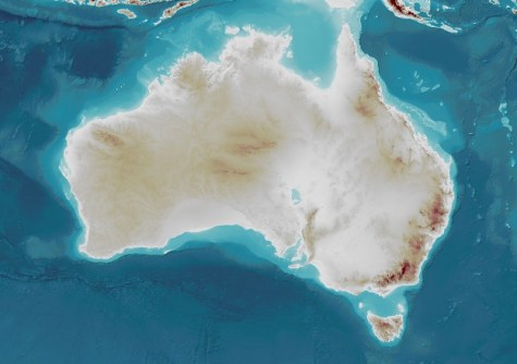
The AusBathyTopo 250m 2026 Grid adds almost 100 extra surveys, bringing better clarity for offshore activities.
2026-08-10 Cool Tools
View All-
 Responsible AI for better decisions: Why geospatial context matters
-
 Stop parking it: meeting the Essential Eight with ArcGIS may be more achievable than you think
-
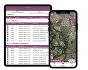 GBM Konect launches Konect 2 to close the field data gap
-
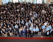 Inside the 12d Tech Forum 2026: Automation, Collaboration, and the Industry’s Next Chapter
Events
View All-
Oct 30
Tasmanian Surveying & Geospatial Conference 2026
 Country Club, 100 Country Club Avenue, Prospect Vale (Launceston)
-
Oct 30
Western Australia EISSI Awards 2026
Pan Pacific, Perth -
Nov 9
2026 Advancing Earth Observation Forum
Hobart, Tasmania -
Nov 10
SouthPAN Industry Day
Online -
Nov 13
South West and Great Southern Surveyors Conference
Mantra Bunbury Lighthouse, Bunbury, WA

