nxzen has announced that it has been awarded an aerial LiDAR collection contract by the Forestry Corporation of NSW.
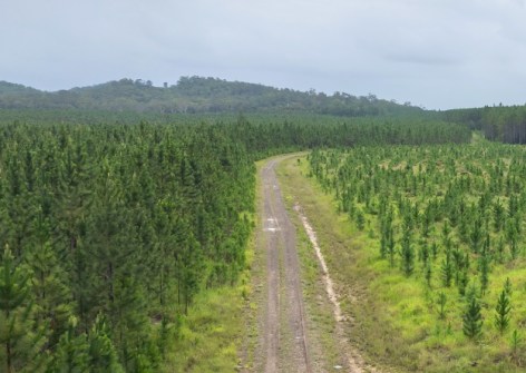
The contract is for LiDAR Acquisition – North Coast Native Forest, Plantation and Habitat Monitoring Areas, and will see nxzen deliver high-resolution airborne LiDAR and four-band aerial imagery across significant areas of forestry plantation estate throughout northern New South Wales.
The work will enable the Forestry Corporation of NSW to leverage high-quality spatial data to support forest inventory, yield estimation, operational planning and future analytical applications.
The captured data, together with a range of derived datasets, will be delivered through Cognitive Earth, nxzen’s Digital Reality Platform, providing secure access to critical geospatial intelligence that supports informed operational and strategic decision-making.
According to nxzen, Cognitive Earth brings together engineering-grade LiDAR, imagery, IoT, SCADA, digital network models and other critical datasets into a single, integrated operational view.
“We are delighted to welcome Forestry Corporation of NSW to the nxzen Virtual Communities network and look forward to working together to deliver innovative, data-driven solutions that support sustainable forestry operations and improved environmental outcomes,” said Dileep Viswanath, CEO nxzen Australia.