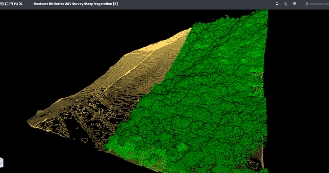
AI and 3D airborne LiDAR have been used to map radiata pine forests...
Forestry
-
Satellite imaging and communications promise to vastly improve agricultural practices, adding billions to...
2021-12-30
ScanX is a web-based point cloud processing platform that helps speed up the...2021-08-03


