

The 2024-25 tree canopy cover data for Greater Sydney shows the most gains have been in the western suburbs.
Aerial campaign to spot, map H5 bird flu cases
By jnally on 31 July, 2026Wildlife and mapping experts are searching Victoria’s coast from above for signs of H5 outbreaks in wildlife.
Victorian traffic, vehicle data now available
By jnally on 30 July, 2026Newly released data provides insights into traffic movements and vehicle classifications across Victoria.
Metaspectral, Planet partner for planetary intelligence
By jnally on 30 July, 2026The deal will see Metaspectral provide AI-powered analytics for Planet’s hyperspectral Tanager satellites.
New Zealand’s wild West Coast seen in 20cm detail
By jnally on 28 July, 2026LINZ has released new 20cm aerial imagery of New Zealand’s famous west coast, with its many rivers and forests.
Small code tweak leads to big journey mapper saving
By jnally on 28 July, 2026Just 457 lines of code written by PhD candidate Andrii Rohovyi has vastly boosted OpenTripPlanner’s capabilities.
Reef Life Explorer platform now has time series layer
By jnally on 28 July, 2026The Marine Protected Area Time Series Layer displays long-term ecological data collected at multiple scales.
25% of Australia’s land now has protected status
By jnally on 28 July, 2026The new Simpson Desert Indigenous Protected Area adds more than 4.7m hectares to the National Reserve System.
Latest Geospatial News
View all
All councils should have free access to location intelligence to manage infrastructure and hazards, says Geoscape.
 2026-08-17
ADVERTISEMENT
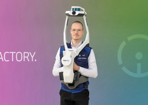
The investment will be used to build the company’s spatial data engine and accelerate its AI product roadmap.
2026-08-17 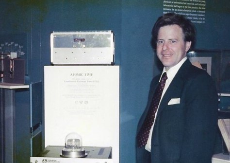
GPS pioneer Charlie Trimble will receive the recognition for services to the cartographic and geospatial sectors.
2026-08-17 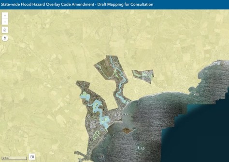
A draft amendment would update flood mapping and planning rules based on new and updated studies and modelling.
2026-08-13 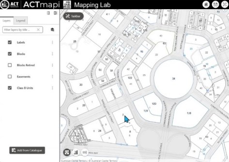
Users have the opportunity to try out new features and enhancements before they’re incorporated into ACTmapi.
2026-08-13 
The Award honours Peter Woodgate’s legacy of leadership, mentorship and impact in Australia’s geospatial sector.
2026-08-13
ADVERTISEMENT
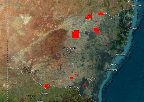
The release from DCS Spatial Services covers 23 areas from the Victorian border to Lord Howe Island.
2026-08-13 
- Sponsored Content
Aidedo was founded based on the practical experience of CEO Aiden Tong while studying and working with many Civil Engineering and Land Surveying firms in developed countries.
2026-06-02
The companies aim to support Australian Defence Force and national intelligence community situational awareness.
2026-08-13 Cool Tools
View All-
 Responsible AI for better decisions: Why geospatial context matters
-
 Stop parking it: meeting the Essential Eight with ArcGIS may be more achievable than you think
-
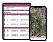 GBM Konect launches Konect 2 to close the field data gap
-
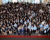 Inside the 12d Tech Forum 2026: Automation, Collaboration, and the Industry’s Next Chapter
Events
View All-
Oct 30
Tasmanian Surveying & Geospatial Conference 2026
 Country Club, 100 Country Club Avenue, Prospect Vale (Launceston)
-
Oct 30
Western Australia EISSI Awards 2026
Pan Pacific, Perth -
Nov 9
2026 Advancing Earth Observation Forum
Hobart, Tasmania -
Nov 10
SouthPAN Industry Day
Online -
Nov 13
South West and Great Southern Surveyors Conference
Mantra Bunbury Lighthouse, Bunbury, WA

