Wildlife and mapping experts are flying over Victoria’s coastline looking for signs of H5 in birds and other wildlife.
When disasters and emergencies strike, maps and mapping experts are not far behind.
And such is the case now that H5 bird flu has reached our shores.
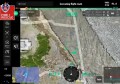
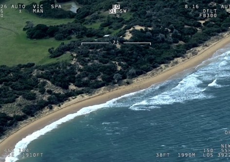
In Victoria, wildlife and mapping experts from the Victorian Department of Energy, Environment and Climate Action (DEECA) have taken to the skies in a helicopter to patrol the state’s coastline, using a camera system to spot and map the locations of suspected bird flu cases.
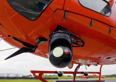
The high-resolution optical and thermal imaging camera is normally used for spotting bushfires and conducting search and rescue operations, but has been pressed into service to deal with the current bird flu crisis.
According to DEECA, this is the first time the system has been used at this scale in the state for detecting disease in wildlife.
Monitoring H5 bird flu high-risk areas
Authorities began the flights in July, initially concentrating their efforts in the state’s south-west following the detection of H5 bird flu in Robe, South Australia, which is near the Victorian border.
But the effort has spread further, with flights also being conducted to monitor other areas with large seal and seabird colonies, such as Mud Islands, Phillip Island, Western Port, Port Phillip Bay and the Gippsland coast.
The aerial surveillance operation is reinforcing on-ground monitoring of high-risk areas where migratory birds are most likely to arrive.
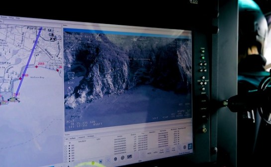
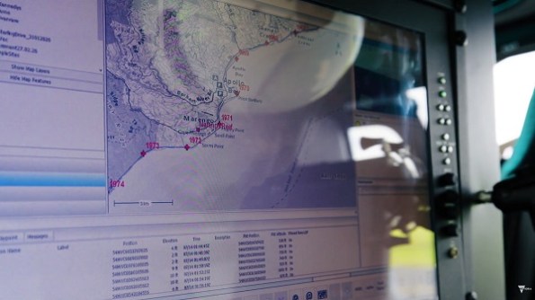
“Any immediate evidence, such as a significant number of seal or bird deaths, will be communicated from the aircraft to our wildlife teams for rapid response,” said DEECA Chief Biodiversity Officer, James Todd.
“What we’re doing at the moment in this aerial operation is providing really high-quality vision and thermal imagery for animal health experts to assess,” added Stephen Salathiel, Aerial Intelligence Gathering Mapper with DEECA.
“We’re probably doing 250 kilometres, 300 kilometres a day.
“We’ve been seeing lots of seal colonies, lots of birds on the beach. They all show up quite well in the infrared view in the camera. So if we see something unusual, we can radio it in immediately to speak to ground crews.”
Keeping on top of the spread of H5
Although national coordination of the H5 bird flu response is being led by the federal Department of Agriculture, Fisheries and Forestry (DAFF), each state and territory is responsible for its own surveillance operations.
As of yesterday morning, 30 July, there had been 28 confirmed detections of the disease in wild seabirds across Australia:
- 10 in Western Australia
- 15 in South Australia
- 2 in New South Wales
- 1 in Queensland
According to DAFF, “There have been no detections in poultry or the wider agriculture industry. There is no evidence of any large-scale deaths.”