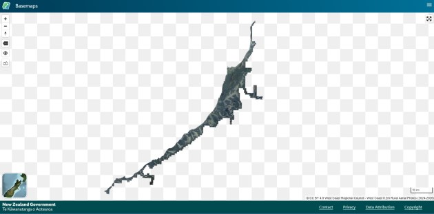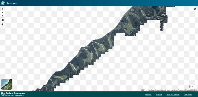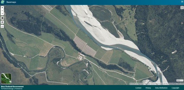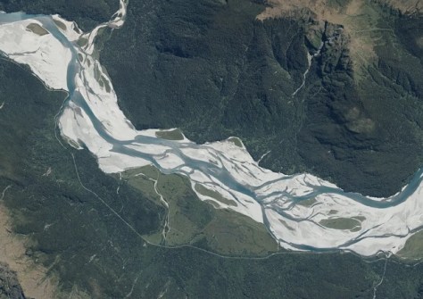
LINZ has released new 20cm aerial imagery of New Zealand’s West Coast, displaying its famous rivers and forests.
This is Toitu Te Whenua Land Information New Zealand’s (LINZ) first new release of imagery covering this part of the country since 2017.
The 20cm-pixel-resolution dataset has been provided in collaboration with the West Coast Regional Council.
The orthophotography was captured for the Council by Aerial Surveys between 17 December 2024 and 3 March 2026, and is available via both Basemaps and the LINZ Data Service.
The data layer contains 1,474 ortho-rectified RGB GeoTIFF images in NZTM projection, tiled into the LINZ Standard 1:5k tile layout.
The spatial accuracy is +/- 0.5 m at the 95% confidence level in clear flat open spaces (2 sigma) over areas of interest.