

Trimble has released the Trimble Terra Office add-in for Esri ArcGIS Pro, a new product for integrating Trimble TerraFlex field data collection software with GIS systems of record.
Brad Parkinson to speak at IGNSS 2024
By jnally on 7 November, 2023The man known as the ‘Chief Architect of GPS’ will present the opening keynote address at the Sydney event.
The UK’s new plan for PNT resilience
By jnally on 6 November, 2023The UK has developed a new strategy that sets out a 10-point plan to achieve PNT resilience and security.
Inertial measurement units
By jnally on 6 November, 2023Advanced Navigation has launched two new fibre-optic gyroscope (FOG) navigation solutions, the Boreas A90 and Boreas A70.
SpAARC space ops centre receives $5m boost
By jnally on 3 November, 2023The WA Government is tipping in an extra $5m to help enhance the Perth-based space operations facility.
AURIN’s total NCRIS funding boosted to $25m
By jnally on 2 November, 2023The five-year funding will enable the organisation to tackle some of the biggest challenges facing Australia.
Tilt-compensated RTK GNSS receiver
By jnally on 1 November, 2023Emlid has announced what it says is the most powerful and flexible RTK GNSS receiver in its product line, the Reach RS3.
Latest Geospatial News
View all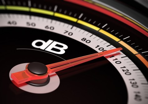
The datasets contain noise levels for each building throughout most of Australia.
 2024-05-29
ADVERTISEMENT

There’s been a small ownership change of NSW Land Registry Services, and Victoria’s SERV introduces MFA.
2024-05-28 
Larry James will act as strategic advisor to SmartSat and also joins Monash as Professor of Space Innovation.
2024-05-28 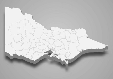
Users will need to recreate their story maps and bookmarks on the new site before 12 June 2024.
2024-05-28 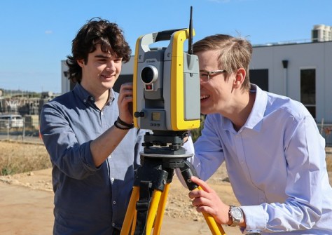
A modernised planning course will integrate academic coursework with practical workplace experience.
2024-05-28 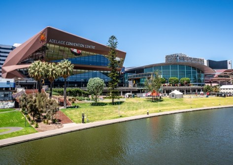
The 2024 AEO Forum will be held from 10 to 12 September at the Adelaide Convention Centre.
2024-05-22
ADVERTISEMENT
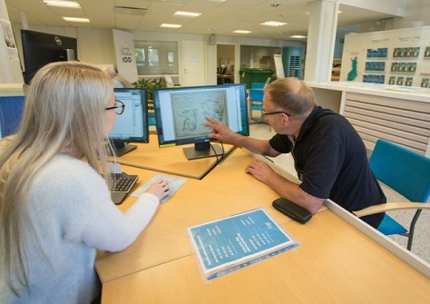
Finland is examining whether its National Land Survey’s three offices and 35 service points are the right mix.
2024-05-22 
- Sponsored Content
Aidedo was founded based on the practical experience of CEO Aiden Tong while studying and working with many Civil Engineering and Land Surveying firms in developed countries.
2026-06-02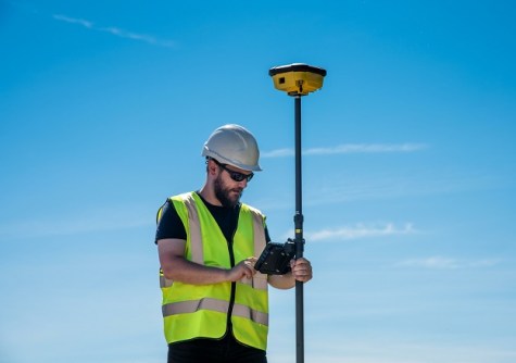
Directional drilling company SADB is combining the power of the Leica iCON gps 160 rover and BricsCAD software.
2024-05-22 



Events
View All-
Nov 9
2026 Advancing Earth Observation Forum
 Hobart, Tasmania
-
Nov 10
SouthPAN Industry Day
Online -
Nov 13
South West and Great Southern Surveyors Conference
Mantra Bunbury Lighthouse, Bunbury, WA -
Nov 24
Locate26 Conference / 10th Digital Earth Summit
Melbourne Convention & Exhibition Centre -
Nov 30

