

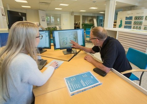
Finland is reviewing the service model for its National Land Survey organisation, which currently has three offices and 35 service points across the country.
A recent survey canvassed options for the future of the service point network, and four possibilities have now been presented in a report.
The report is based on a strategic discussion between the National Land Survey and the Ministry of Agriculture and Forestry, held last (northern) autumn. In that discussion, it was agreed to carry out a study regarding the development of the service point network as well as cost-savings efforts.
The report describes the current state of the National Land Survey’s service network and examines four options:
- The current model
- A regional centre model
- A regional centre model supplemented by some service points, and
- A service point and office model, in which the current model is supplemented so that the National Land Survey has premises in the locations that currently have a service point.
“We examined four models because that way, we were able to introduce the effects of the different options in a variety of ways. The models provide a basis for a further survey and, in time, actual decision-making,” said NLS deputy director general Petri Korpinen, who headed the service point survey team.
All four models are examined with the same criteria: finances, personnel, customers, digitalisation, language legislation and sustainability. In addition, the Ministry of Finance’s service network and facility project as well as future recruitment and competence needs were taken into account.
The National Land Survey is going to continue considering the matter as part of economic rebalancing and cost savings efforts. This might even result in a decision completely different to all of the options presented in the report.
The new report follows the publication of a similar report almost a decade ago.


