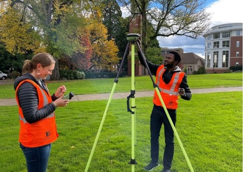
Four research projects will address key issues facing the United States’ geodetic community.

Glenn Cockerton steps down as Spatial Vision CEO
Industry veteran Cockerton will remain on Board, with Cameron Selkrig taking his place as CEO as of 1 May.
Read moreInsights
View All-
 Terrestrial scanning solution from Emlid and PIX4D accelerates data capture for construction and utilities
 -
 Reduce survey costs with HubX by Sphere Drones
 -
 Locate24 Full Program Released | Register now!
 -
 Drones adoption continues to soar: 60 million commercial flights by 2043, saving Australian businesses over $10 billion.
Latest Geospatial News
View all
ADVERTISEMENT
In our annual Leaders Forum, we ask the experts to look ahead into 2024. Today we talk GIS with David Robinson.
 2024-01-22
The UN geodesy body will seek feedback from stakeholders during webinar to be held on 31 January.
 2024-01-18
The Space+Spatial 2030 RoadMap is being adapted to reflect changing government objectives and national needs.
 2024-01-18
Newman becomes HERE’s Senior Vice President and General Manager for the Asia-Pacific region.
 2024-01-17
In our annual Leaders Forum, we ask the experts to look ahead into 2024. Today we talk GIS with Robert Rowell.
 2024-01-17
ADVERTISEMENT
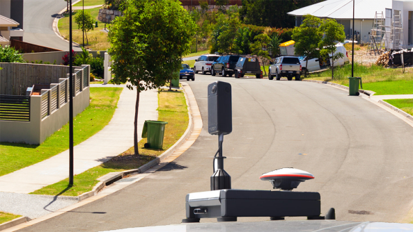
RapidMap now offers the Smart Street 360 which is a rapid deployment panorama camera capture GNSS solution to create personalised Spatially accurate Street Views efficiently. Ideal for Local Government, use for roadside assessments pre and post disaster or simply to record the current condition of shared paths, sealed and unsealed roads.
 2023-11-01
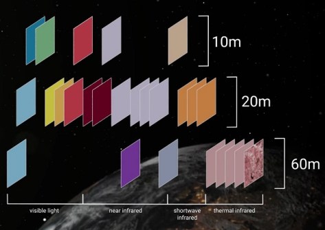
The new program will take advantage of the capabilities to be offered by the Landsat Next triple-satellite mission.
 2024-01-16
 Cool Tools
View All-
 Terrestrial scanning solution from Emlid and PIX4D accelerates data capture for construction and utilities
 -
 Reduce survey costs with HubX by Sphere Drones
 -
 Locate24 Full Program Released | Register now!
 -
 Drones adoption continues to soar: 60 million commercial flights by 2043, saving Australian businesses over $10 billion.
Events
View All-
May 2
GISTAM 2024
 Angers, France
 -
May 7
Locate24
 International Convention Centre, Sydney
 -
May 7
New Zealand: Digital Twin 2024 Summit
 Mövenpick Hotel Auckland, New Zealand
 -
May 9
4th International Symposium on Applied Geoinformatics 2024
 Wroclaw University of Science and Technology, Wroclaw, Poland
 -
May 13
Geospatial World Forum 2024
 Rotterdam, The Netherlands


