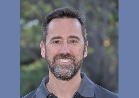
In our annual Leaders Forum, we ask the experts to look ahead into 2024. Today we talk GIS with David Robinson.
David Robinson is a geospatial expert with extensive experience in providing strategic advice and delivering GIS to government and commercial clients. In 2018 he co-founded Onneer, a company that focuses on enabling organisations to achieve outcomes with enterprise GIS using Esri’s ArcGIS software.
Spatial Source: Workforce supply issues have dominated discussion in recent years. Do you think enough is being done?
David Robinson: Despite significant investments in traditional spatial disciplines, the gap in the GIS workforce supply is expanding. The industry’s focus on traditional spatial disciplines sometimes neglects the importance of business skills to achieve better outcomes. To bridge this gap, a shift towards GIS programs prioritising business value is crucial.
The current accessibility of GIS highlights an untapped potential in non-traditional users. Beyond technical skills, widening the talent pool is crucial, inviting business-orientated professionals to leverage GIS for their unique challenges. GIS is not just for spatial professionals. We must identify and encourage others to engage with GIS and join the workforce.
SS: What other challenges are facing the sector, and what are the solutions?
DR: GIS depends on business alignment, quality spatial data, and continuous process enhancement with a corresponding investment in human capital. We also need to embrace longer-term strategies and holistic approaches to GIS to achieve meaningful business outcomes.
Sustainable GIS mandates the need for equilibrium among technology, people, processes and data, yet technology trumps GIS professionals’ insights. Further, solving complex spatial problems requires a multi-organisation approach, but this needs greater emphasis on coordination to reduce duplication of effort.
The solutions to these challenges include championing business-led GIS approaches, working collaboratively and encouraging long-term problem-solving holistic strategies.
SS: What’s on your wish list for 2024?
DR: As organisations embrace GIS and increase WebGIS investments, we’re seeing more opportunities for collaboration and improvements in productivity and insights. Of course, leveraging these capabilities and enhancing returns, means long-term planning beyond a single year is vital.
In 2024, we’ll envisage the GIS future, ready for challenges and advocate for lasting education and skill-building investments with business-focused approaches instead of excessive technical investments. With today’s user-friendly GIS tools, we’ll enable users to work together to solve business challenges by applying GIS solutions with increased focus on equipping GIS professionals with skills relevant for the next decade.
SS: What are your customers and collaborators looking for in 2024?
DR: While we’re still focused on GIS delivery, increasingly we’re providing a review and advice service because customers want greater return on their investment in GIS and geo-information with better business alignment. They’ve achieved a level of maturity in their systems but now want to sustain and operate their GIS better, keeping both the technology and workforce current and capitalising on new capabilities aligning them to the organisation’s strategic drivers.
Improvements in the accessibility and quality of data holdings is also one of the hot topics, including strengthening data management practices and ensuring lifecycle management approaches are applied across data, services and systems.
SS: What are your company’s plans or priorities for 2024?
DR: As a people company that delivers quality GIS, we’re investing in our people. We’re building our team’s skills, knowledge and experience into systems which we hope to make available to the industry to help build the workforce.
We’re investing heavily in data management and data production skills and preparing to assist organisations fill data gaps with quality managed geo-information through new capability investments. And we’re building the next generation of GIS professionals who should be excited about our industry and prepared to help solve complex real-world challenges.
I’m encouraged by the smart and dedicated people I work with and optimistic about the future of GIS in Australia.


