

The highly successful program aims to help guide the careers of the next generation of geospatial professionals.
Cloudless Earth imagery access
By jnally on 25 March, 2024Kermap has released a free web platform enabling access to time series 2D and 3D cloudless views of the Earth.
Kanyini satellite one step closer to launch
By jnally on 19 March, 2024The satellite and its hyperspectral payload have completed two weeks of temperature and vibration testing.
October spatial information science symposium
By jnally on 19 March, 2024The abstract deadline for the ISPRS spatial information science meeting in Fremantle is fast approaching.
Government releases new Local Drone Rules map
By jnally on 14 March, 2024UAV users can now easily see whether they need to obtain authorisation to fly in certain areas.
Latest Geospatial News
View all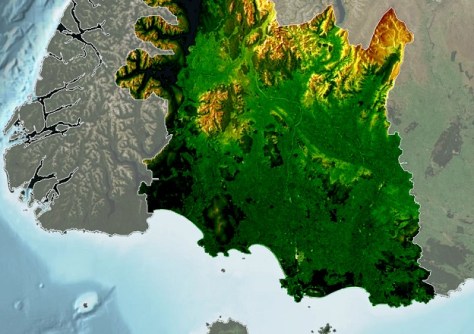
New Zealand’s Southland region is now LiDAR-mapped to 8m resolution in rural zones and 20cm in some urban areas.
 2024-08-27
ADVERTISEMENT
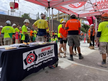
Before You Dig Australia’s new five-year strategic plan aims to use GIS and data to prevent damage and injury.
2024-08-27 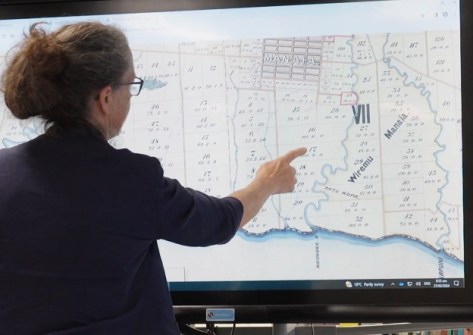
A new app is being used to help Māori reconnect with their whenua (land) and whakapapa (family tree).
2024-08-26 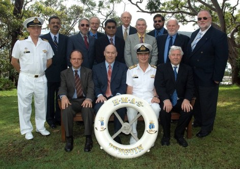
The Australasian Hydrographic Surveyors Certification Panel was the first globally recognised scheme.
2024-08-26 
Trish Scully will become the head of Landgate, WA’s land information authority, commencing on 2 September.
2024-08-21 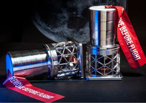
The Malya payload comprises a camera from Macquarie University and a computer from Spiral Blue.
2024-08-21
ADVERTISEMENT

HP SitePrint improves accuracy and speed when doing site layouts, and eliminates the chance of manual errors.
2024-08-21 
- Sponsored Content
Aidedo was founded based on the practical experience of CEO Aiden Tong while studying and working with many Civil Engineering and Land Surveying firms in developed countries.
2026-06-02
The awards covered efforts such as sustainability, community impact, innovation, diversity and more.
2024-08-20 



Events
View All-
Nov 9
2026 Advancing Earth Observation Forum
 Hobart, Tasmania
-
Nov 10
SouthPAN Industry Day
Online -
Nov 13
South West and Great Southern Surveyors Conference
Mantra Bunbury Lighthouse, Bunbury, WA -
Nov 24
Locate26 Conference / 10th Digital Earth Summit
Melbourne Convention & Exhibition Centre -
Nov 30

