

The city will use FloodMapp software for disaster preparedness, response and recovery actions.
UK, Australia announce space funding recipients
By jnally on 8 April, 2024The funding includes support for projects to monitor inland and coastal water quality and develop AI space tech.
Spatial Digital Twin to be used in flood prediction
By jnally on 2 April, 2024NSW’s SDT will visualise real-time rainfall and flood conditions using data from TPG’s mobile phone network.
Australia joins international Landsat 2030 project
By jnally on 2 April, 2024Australia will spend more than $200 million to join the Landsat 2030 International Partnerships Initiative.
City of Sydney: Growing green with GIS
By jnally on 1 April, 2024The City of Sydney has set targets to grow a cooler, more diverse, and resilient city using mapping technology.
Latest Geospatial News
View all
Geoscience Australia has licensed river, rainfall and coastal data from the UK-based risk intelligence firm.
 2024-09-11
ADVERTISEMENT

Worthy individuals and projects were recognised, with Australian Spatial Analytics receiving three awards.
2024-09-09 
Cesium develops platforms for producing 3D geospatial applications, such as the 3D Tiles open standard.
2024-09-09 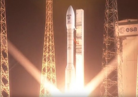
The Earth observation satellite will image the planet in 13 spectral bands with a swath width of 290 kilometres.
2024-09-09 
Called ‘Leoflect,’ the project has received $100,000 in financing from a South Australian innovation fund.
2024-09-06 
The new regulations have increased professional indemnity insurance to $2m, plus some other minor changes.
2024-09-04
ADVERTISEMENT

The Ordnance Survey and the Digital Task Force for Planning have inked a deal to promote planning change.
2024-09-04 
- Sponsored Content
Aidedo was founded based on the practical experience of CEO Aiden Tong while studying and working with many Civil Engineering and Land Surveying firms in developed countries.
2026-06-02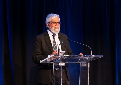
Looking back on his 30 years of career accomplishments with the Australian Hydrographic Office.
2024-09-04 



Events
View All-
Nov 9
2026 Advancing Earth Observation Forum
 Hobart, Tasmania
-
Nov 10
SouthPAN Industry Day
Online -
Nov 13
South West and Great Southern Surveyors Conference
Mantra Bunbury Lighthouse, Bunbury, WA -
Nov 24
Locate26 Conference / 10th Digital Earth Summit
Melbourne Convention & Exhibition Centre -
Nov 30

