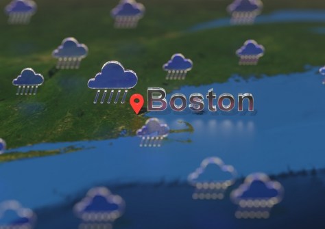
The City of Boston (USA) has awarded its Flood Modelling RFP to FloodMapp to provide real-time flood monitoring to enhance emergency preparation, response and recovery during flood events.
Boston faces escalating challenges caused by climate change, particularly intensifying flooding and sea-level rise. As a low-lying coastal city, vulnerable to the impacts of climate change, the city is experiencing more intense storms, frequent heavy precipitation, extreme flooding and higher sea levels.
The contract will see the City of Boston’s Office of Emergency Management supplied with FloodMapp’s ForeCast, NowCast and PostCast products.
“We are looking forward to taking this critical step towards enhancing the City’s ability to be more informed about flooding across Boston,” said Chief Shumeane Benford from Boston’s Office of Emergency Management.
“This tool will support the interagency coordination within the Emergency Operations Center (EOC), improve operational preparedness, response, and recovery actions of individual City departments, focus and strengthen our City’s resilience planning, and enhance public risk communication before, during, and after a storm!”
“We are honoured to partner with the City of Boston and work collaboratively to build resilience,” said CEO and Co-Founder of FloodMapp Juliette Murphy. “Working together with cities like Boston to build a safer future is rewarding in a way that I can’t put into words.”