Vicmap 1m Digital Elevation Model available

By on 23 July, 2024

The new DEM covers 60% of Victoria and provides a 100x improvement in detail over the 10m DEM.

Read full story • Comments { 0 }

All-in-one IMU/GNSS

By on 23 July, 2024

The Apogee-D from SBG Systems is an all-in-one IMU/GNSS that embeds an RTK- and PPP-ready GNSS receiver.

Read full story • Comments { 0 }

Aptella to distribute Sphere Drones’ HubX

By on 22 July, 2024

Target markets for the mobile platform include resources, mining, construction and emergency services.

Read full story • Comments { 0 }

Mitcham EDM calibration baseline re-opens

By on 18 July, 2024

The re-constructed baseline in Melbourne’s eastern suburbs features eight pillars along a 593m reserve.

Read full story • Comments { 0 }

Compact multi-constellation GNSS receiver

By on 18 July, 2024

Topcon’s HiPer CR can be used as a network RTK rover and as an integrated hybrid with a robotic total station.

Read full story • Comments { 0 }

Fugro appoints new APAC Group Director

By on 18 July, 2024

Luh Shyang Loo, a 25-year Fugro veteran, will commence in his new role on 1 October 2024.

Read full story • Comments { 0 }

Nominations open for open source geospatial award

By on 17 July, 2024

The 2024 Sol Katz Award for Free and Open Source Software for Geospatial will be awarded in December.

Read full story • Comments { 0 }

OGC re-establishes regional ANZ Forum

By on 17 July, 2024

The Forum will bring the community together to collaborate on common drivers of geospatial programs.

Read full story • Comments { 0 }

Providing certification for ‘as-constructed’ plans

By on 16 July, 2024

The Surveyors Board of Queensland has issued a reminder that only Registered Surveyors can issue such certifications.

Read full story • Comments { 0 }

Kiribati becomes the 100th nation to join the IHO

By on 16 July, 2024

Hydrography is vital for a nation of 33 islands with an EEZ that is 4,000 times greater than its land area.

Read full story • Comments { 0 }

Latest Geospatial News

View all
Drone authorisation trial extended to more areas
Drone operators are now able to apply for fast authorisations to fly in a wider range of controlled areas.
ADVERTISEMENT
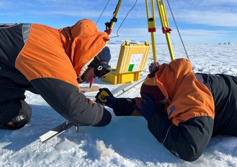
LINZ experts tackle geospatial tasks in Antarctica
The work included calibrating tide gauges, preparing a SouthPAN site and surveying huts and wind turbines.
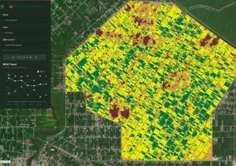
LatConnect60 selects Spire for GNSS reflectometry
The reflectometry data will provide soil moisture insights for companies, governments and farmers.
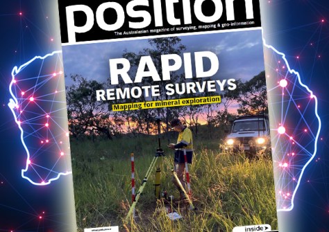
The latest issue of Position is out!
Read our expert’s predictions for 2025, plus data visualisation, plans for resilient PNT and much more.
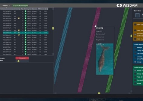
New app surveys, maps and identifies wild animals
The WISDAM app uses aerial survey data to map animal detections to real-world coordinates.
Interview: Diane Dumashie, President, FIG
The head of the world's largest geospatial organisation gives her insights into the opportunities ahead in 2025.
ADVERTISEMENT
OGC releases Urban Digital Twins discussion paper
The paper presents three UDT use cases — climate change adaptation, urban transformation and urban air mobility.
How do AEC Firms in Australia easily access engineering workforce at a lower cost?
  • Sponsored Content
How do AEC Firms in Australia easily access engineering workforce at a lower cost?
Aidedo was founded based on the practical experience of CEO Aiden Tong while studying and working with many Civil Engineering and Land Surveying firms in developed countries.
Australian EO start-up awarded $1m in venture capital
Esper Satellites awarded $1m from the Paspalis Innovation Investment Fund after winning Croc Pitch 2024.

Events

View All

Featured Video

Newsletter

Sign up now to stay up to date about all the news from Spatial Source. You will get a newsletter every week with the latest news.