

The Republic of Kiribati has become the 100th Member State of the International Hydrographic Organization (IHO).
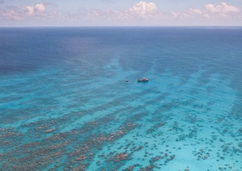
Straddling the equator, Kiribati is made up of 33 islands spread over 3,441,810 square kilometres of Pacific Ocean. Its EEZ is more than 4,000 times greater than its land area.
As an ocean state, Kiribati is heavily reliant on hydrographic services and expertise to ensure its safety and security. It has four main areas of concern:
- Fisheries enforcement: Accurate and up-to-date hydrographic data can support the monitoring and protection of the nations’ waters from illegal fishing activities, and help to ensure sustainable fisheries management.
- Economic development: Hydrographic data can help to identify more efficient trade routes, develop tourism, support the Blue Economy, create jobs and foster sustainable growth.
- Environmental protection: Kiribati is home to the Phoenix Islands Protected Area, one of the largest Marine Protected Areas. It covers an expanse of 408,250 square kilometres, making it larger than Japan or Germany. It was declared a UNESCO World Heritage site in 2010 and is the largest and deepest World Heritage site on Earth.
- Mitigation of climate change: The nation is particularly vulnerable to the impacts of sea-level rise; enhanced hydrographic data will support monitoring and management of coastal erosion and other climate-related phenomena.
“Hydrography can contribute to building island resilience through improved connectivity. As a large ocean state, the development of the maritime sector has always been at the forefront of key initiatives to support Kiribati’s socio-economic development,” said Mr Mitateti Mote Tira, Secretary, and Captain Ruoikabuti Tioon, Director of the Marine Division, Ministry of Information, Communications and Transport, Kiribati.
“Enhancing maritime safety by updating our nautical charts is crucial for us. These charts do more than just improve navigation safety in our waters; the data obtained through this process is invaluable, particularly in supporting our maritime infrastructure development program and other sectors such as fisheries and tourism.”
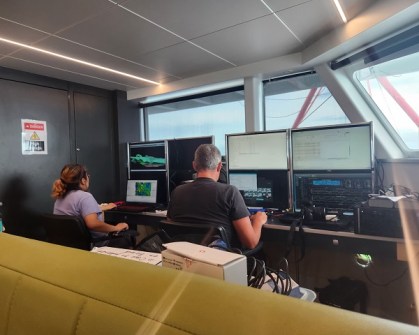
Kiribati’s IHO membership is the culmination of many years of effort by Kiribati to work with the international community, often through the South-West Pacific Hydrographic Commission, to develop an in-country hydrographic capacity. Its hydrographic unit, created in 2020, now has four members of staff and is led by Tion Uriam.
In order to accelerate the gathering of valuable ocean data, earlier in 2024 Kiribati formally approved the collection of crowdsourced bathymetric data in its territorial sea and EEZ.
It is also taking part in the Seabed 2030 initiative, which among others, uses crowd-sourced bathymetry to develop a more detailed map of Kiribati’s waters. Vessels that ferry between the islands carry single beam echosounders, effectively helping to map Kiribati’s waters through the collection of data.
“The accession of Kiribati to the IHO is significant not just because it marks one more Member State in terms of numbers, it is also a sign of the relevance of the IHO’s work in support of all ocean related activities,” said Dr Mathias Jonas, Secretary General of the IHO.
“Being a member of the IHO means being part of the fundamental technical work undertaken by the Organization. Countries can contribute to activities and at the same time take benefit from the outputs.”


