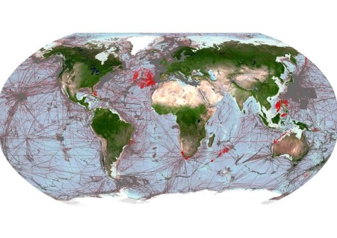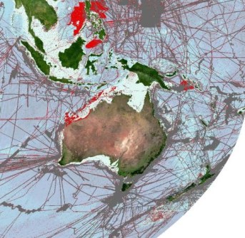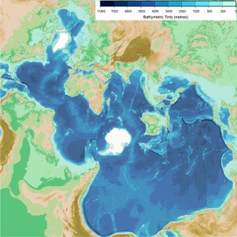
The recent addition of 5.4 million square kilometres of new data — almost three-quarters the size of Australia — means that 24.9% of the Earth’s seabed has now been mapped.
The latest figure was announced by HSH Prince Albert II of Monaco during the recent International Hydrographic Organization (IHO) Assembly in Monaco.
The global effort behind mapping the world’s entire ocean floor before the end of the decade is being led by Seabed 2030, a collaboration between The Nippon Foundation and the General Bathymetric Chart of the Oceans (GEBCO), itself a joint programme of the IHO and the Intergovernmental Oceanographic Commission of UNESCO.
The British Oceanographic Data Centre (BODC), part of the UK’s National Oceanography Centre (NOC), acts as the Global Center for Seabed 2030.
“In the year that marks the 120th anniversary of the initiation of the GEBCO chart series, we are proud to continue BODC’s role in managing and delivering GEBCO’s global bathymetric grid on behalf of the project and our continuing collaboration with the Seabed 2030 Regional Centres and wider seafloor mapping community,” said Pauline Weatherall, GEBCO Digital Atlas Manager.
Speaking at the opening ceremony, Prince Albert II praised developments made in ocean mapping, and acknowledged the role of GEBCO, which this year is celebrating 120 years. GEBCO was initiated in 1903 by his ancestor, Prince Albert I of Monaco.

When Seabed 2030 was launched in 2017 to act as a catalyst for the mapping of the ocean floor, only 6% had been mapped in high resolution. In that same year, the UN General Assembly proclaimed the Ocean Decade with a key challenge of developing a comprehensive map of the ocean, to ensure a more sustainable management of the marine environment and its resources.
In the six years since then, 90 million square kilometres of bathymetric data has been acquired as a result of global partnerships, data mobilisation and strides in technological innovation. This has led to consequential developments in scientific research, as well as a range of discoveries.
For instance, in April a new seamount catalogue was published that included more than 19,000 newly discovered undersea volcanoes.

Still, three quarters of the ocean floor remain a mystery. Key challenges to mapping it include overcoming the vast scale and depth of the ocean, limited technological capabilities, the high cost of mapping expeditions, and capacity building.
Mapping the ocean floor is a vital step towards informing decision-making in areas such as resource management, environmental change and ocean conservation. It directly supports UN SDG 14, to conserve and sustainably use the ocean. Seabed 2030 is a formally endorsed Action of the UN Decade of Ocean Science for Sustainable Development 2021–2030 (The Ocean Decade).


