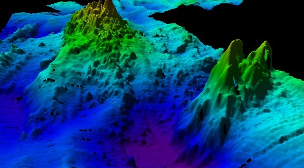
SWOT satellite data is revealing thousands of seamounts, potentially doubling the number previously...
seafloor mapping
-
Surveying and mapping are providing insights into some of the underwater risks facing...
2025-03-19
Seafloor mapping and the search for a historic shipwreck are on the agenda...2025-03-12
Ireland-headquartered XOCEAN is expanding its operations around the world, including here in Australia.2024-11-11
ADVERTISEMENTBathymetry conducted from on board the RSV Nuyina has enabled the updating of...2024-05-21
More than 1,500 individual surveys have been combined to reveal the seafloor surrounding...2023-10-31
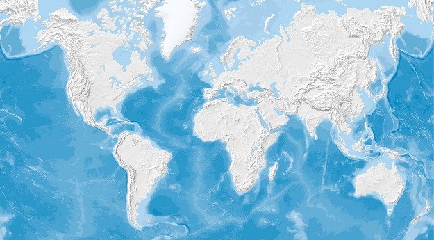
The addition of 5.4 million square km of new data means that 24.9%...2023-06-23
CSIRO has released results of RV Investigator bathymetry work to map the seafloor...2023-06-21
The European Commission and UNESCO are renewing their joint efforts to advance marine...2022-11-23
A new survey has given a major boost to efforts to map the...2021-10-25
Acquired data could inform Australia’s claim to an area of seafloor the size...2020-03-10
Newsletter
Sign up now to stay up to date about all the news from Spatial Source. You will get a newsletter every week with the latest news.
© 2025 Spatial Source. All Rights Reserved.
Powered by WordPress. Designed by


