

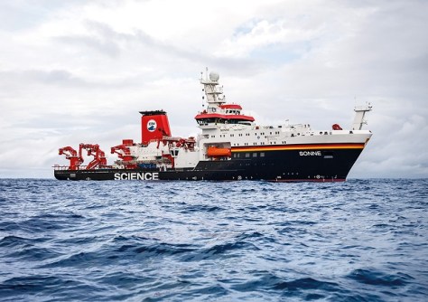
The risk of undersea landslides and their potential to cause tsunamis along New Zealand’s east coast is being investigated by scientists aboard the German research vessel RV Sonne as part of a month-long international collaboration.
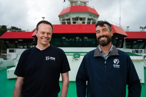
Researchers from two New Zealand scientific research bodies — the National Institute of Water and Atmospheric Research (NIWA) and GNS Science — are examining underwater canyons alongside colleagues from German institutions GEOMAR and Kiel University.
By surveying, mapping and sampling two different areas off the Wairarapa and Canterbury coasts which have previously experienced huge landslides, they hope to better understand the hazard and risk potential of large underwater canyons, said NIWA marine geoscientist Dr Joshu Mountjoy.
“Future undersea landslides could trigger tsunamis as well as impact seafloor infrastructure,” he said. “If these landslides happened again, we know they could cause devastating tsunamis. What we are trying to understand is where and when they might occur in the future.”
To better understand what lies beneath the ocean, they are mapping the seafloor using RV Sonne’s multi-beam echosounder to create contour maps, as well as collecting core samples from the seafloor to reveal the age and when landslides previously occurred.
Surveying and mapping will provide insights into the structure and geological formations below the seabed, says GNS Science computational geophysicist, Christof Mueller.
“It is like a CAT scan of the Earth, with seismic surveying penetrating deep into the crust to map geological structures, while acoustic mapping maps shallower features like the seafloor depth and topography with greater detail,” he said.
“Sediment cores and geophysical data will be analysed to reveal the layers, because we are interested in the mechanical strength of the sediments and rocks and how they respond to earthquake motions.”
The distance from the sea surface to the seafloor makes deep canyons difficult to explore, along with the lack of light, cold temperatures, and high pressure, said Mountjoy.
“From these extensive surveys, and analysis of the sediment cores, we hope to uncover the secrets of underwater landslides — how and where they form, when they last occurred and their frequency and magnitude, and their potential to trigger tsunamis,” he said.
“While we are studying two canyons less than 200 km apart, they have contrasting geology, so we’ll be able to directly compare underwater canyons on active and passive continental slopes.”
According to Mountjoy, in the Palliser Canyon study area, south of Cape Palliser in Wairarapa, where the Pacific Plate moves beneath the Australian Plate, the geology is dominated by rock and earthquakes occur regularly.
In the Pegasus Canyon study area, north-east of Banks Peninsula, the geology is dominated by softer sediments and earthquakes are less frequent. These factors should have a big influence on how and where landslides occur.
“We often don’t know what causes individual undersea landslides, but we do know that some of these are vast, greater than 5 cubic kilometres in size, and can potentially generate tsunami waves up to 5 m high,” said Mountjoy.
“What we don’t know is how often and what controls these landslides. So the outstanding science challenge is to identify what causes the big ones.
“This improved understanding will better position New Zealand to be one step ahead, as data will allow for better community resilience and protection of our national infrastructure and assets which keep New Zealand moving.”
The 116m-long RV Sonne has worked for much of its life as a platform for scientific research around the Pacific Ocean.


