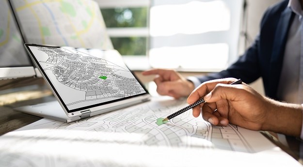
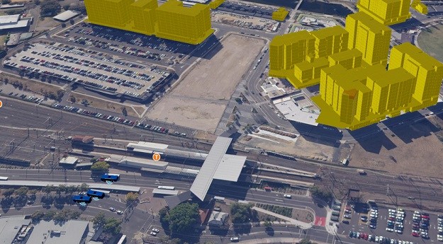
KPMG has been signed as Delivery Partner, and a data management framework has...
3D & BIM
-
Australian businesses are being given the opportunity to engage with UniSQ geospatial students.
2024-08-01
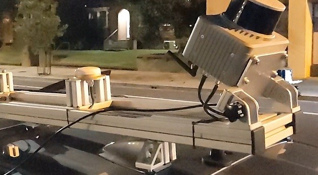
A new mobile scanning kit enables anyone on a team to capture accurate...2024-07-09
Cumins replaces Greg Bentley and becomes the first non-Bentley family member to lead...2024-07-02
ADVERTISEMENTUsers will need to recreate their story maps and bookmarks on the new...2024-05-28
Directional drilling company SADB is combining the power of the Leica iCON gps...2024-05-22
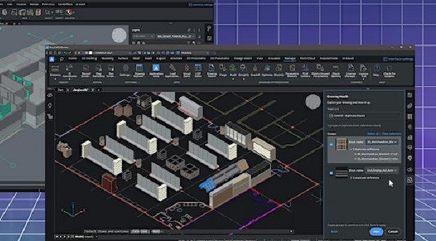
The hugely successful MAGNET Office CAD workflow solution will soon be upgraded to...2024-05-21
Datacom, Telstra and a 10-member consortium led by Veris have become DTV partners...2024-05-15
Online real estate marketplace firm, CoStar, will outlay US$1.6b to acquire 3D digital...2024-05-03
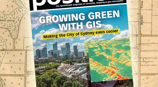
The new effort highlights technology’s role in improving planning in order to ensure...2024-04-23
The geospatial sector is set to both underpin the metaverse and capitalise on...2024-03-13
The 10-year project aims to improve infrastructure delivery, land use and emergency preparedness.2024-03-04
The Brumby LiDAR rapidly produces point clouds by removing the typically arduous post-processing...2024-02-26
Learn about the metaverse, mapmaking, 3D scanning, RINEX, hyperspectral EO and more in...2024-02-23
Don’t miss next month’s WA Digital Twin Symposium and the South Australia Cadastral...2024-02-19
The events will show how the latest software, tools and tech are enabling...2024-02-14
Without a spatial digital twin, there can be no smart cities, no smart...2024-01-24
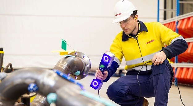
Using a hand-held laser scanner, a 3D model of pipes can produced in...2023-12-14
Series A round investment in the geospatial intelligence company now totals US$35 million.2023-11-20
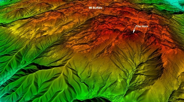
Aerial LiDAR has been used to generate a 1-metre DEM of parts of...2023-09-04
Newsletter
Sign up now to stay up to date about all the news from Spatial Source. You will get a newsletter every week with the latest news.
© 2025 Spatial Source. All Rights Reserved.
Powered by WordPress. Designed by


