Near Space Labs will use the funds to expand its fleet of Swift...
aerial imagery
-
The Network Surveyor bundle combines Teledyne’s airborne acquisition tech with Pointerra3D’s software suite.
2025-03-13
Vexcel will offer its aerial imagery, geospatial data and property attributes services, including...2025-01-20
A QUT researcher has been awarded $240,000 to identify the best data collection...2024-10-02
ADVERTISEMENTIn the run up to the Locate conference in May, we’re highlighting some...2024-05-01
The City of Sydney has set targets to grow a cooler, more diverse,...2024-04-01
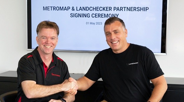
Users will have access to tools and aerial imagery covering metro areas across...2023-05-16
The deal is Aerometrex’s largest MetroMap partner agreement so far, and builds on...2023-05-02
Rapid advances in AI, deep-learning and analysis-ready data are ushering in a new...2023-03-17
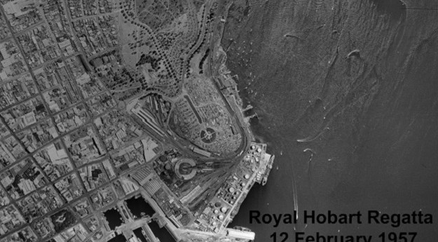
The Aerial Photo Viewer images can be viewed freely and span the period...2022-09-28
The contract will see Woolpert collect topographic and bathymetric LiDAR data and aerial...2022-08-02
MetroMap gives access to super high-resolution and accurate imagery covering more than 8.5m...2022-07-05
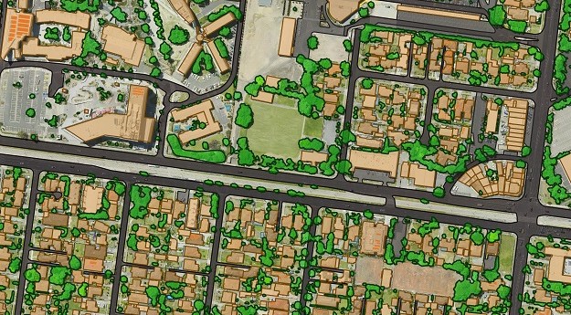
LiDAR is the most precise way to measure tree canopies and gauge changes...2022-05-03
Initial offering will include vertical imagery updated multiple times per year at up...2022-04-19
MetroMap’s high-resolution aerial imagery and measuring tools are a game-changer for outdoor event...2022-03-14
Steven Masters will take up the roles of Managing Director and Chief Executive...2021-12-14
Geoscape Australia will use GeoX’s machine vision and deep learning tech to enhance...2021-08-10
Phase One Industrial brings a new large-format nadir and oblique aerial camera system...2021-01-13
Impressive results for Aerometrex and its MetroMap product in the September quarter.2020-10-13
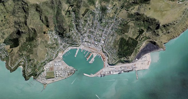
Land Information New Zealand’s free new base maps offer resolution accurate to 5cm...2020-08-18
Newsletter
Sign up now to stay up to date about all the news from Spatial Source. You will get a newsletter every week with the latest news.
© 2026 Spatial Source. All Rights Reserved.
Powered by WordPress. Designed by


