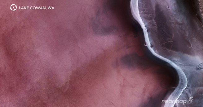
Nearmap releases a stunning ‘guided meditation’ of aerial natural imagery from the company’s...
aerial imagery
-
Biosecurity Queensland is monitoring quarantine compliance for Panama TR4-affected farms with UAVs.
2020-02-25
Woolpert and iXblue have joined forces to bolster their aerial survey services in...2019-09-10
SimActive launches a new processing tool focused on UAV-sourced imagery.2019-06-26
ADVERTISEMENTNew features automatically highlight terrain features to assist analysis.2019-06-05
US-based geospatial insurance industry consortium launches in Australia and New Zealand ahead of...2019-04-03
Huge uptake in UAVs for aerial capture, and diversifying applications are driving a...2018-06-13
WA’s State Land Information Capture Program (SLICP) has been renamed to CaptureWA.2014-12-02
Leica Geosystems’ RCD30 Penta Oblique system is now available with new optics.2014-10-14
A cross-industry Commercial UAVs event will run in Brisbane on 28-30 October 2014.2014-08-05
A new layer group has been added to the NSW Globe that includes...2014-07-22
Aerial images; Sim City Melbourne; ESRI MOOC; DigitalGlobe; UAV park ban; OGC +...2014-06-24
New Zealand’s most current publicly owned aerial imagery is now available under an...2014-04-29
Aerial imagery provider, nearmap, has launched nearmap Solar for the Australian solar industry.2014-04-15
Phase One Industrial has announced the first CMOS-based digital medium format aerial camera.2014-04-01
A new report states that the global aerial imaging market will be worth...2014-03-11
Maptek has made a significant investment in Adelaide-based UAV company, DroneMetrex.2014-02-25
Nearmap has released a new service for the ports, mining, and rail industries.2014-02-18
Ultimate Positioning Group is now offering a one-week UAV flight certification course.2013-10-08
Intergraph has released an updated SDK that improves the ECW and ISO JPEG...2013-09-17
Newsletter
Sign up now to stay up to date about all the news from Spatial Source. You will get a newsletter every week with the latest news.
© 2025 Spatial Source. All Rights Reserved.
Powered by WordPress. Designed by


