

French UAV-borne LiDAR specialists launch in house point cloud processing suite.
ACCC: Tech giants tests merger laws
By Daniel Bishton on 12 June, 2019Regulators struggle to respond to the rise of ‘dominant’ digital platforms.
Fraser Coast drone show unveils new speaker
By Spatial Source on 11 June, 2019The event’s organisers have announced a new speaker and sponsor ahead of the June 19 event.
IndoorViewer 2.4 beefs up floor plan facilities
By Spatial Source on 11 June, 2019IndoorViewer 2.4 features enhanced automatic floor plan and routing features.
Virtual Surveyor introduces ‘terrain lenses’
By Spatial Source on 5 June, 2019New features automatically highlight terrain features to assist analysis.
Latest Geospatial News
View all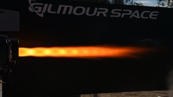
Gilmour has bested its recent Australian record with a 110-second mission duration burn.
 2020-07-22
ADVERTISEMENT
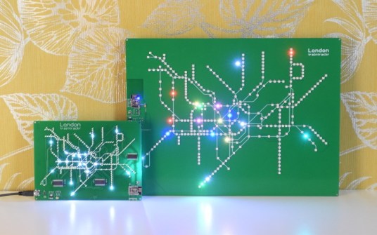
Spatial Source’s fortnightly round-up of the best in cartography, spatial analysis and creative applications of GIS.
2020-07-22 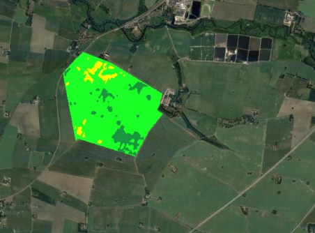
Partnerships increase capability in maritime surveillance and precision agriculture applications.
2020-07-21 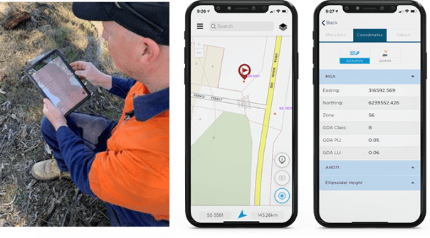
Upgraded NSW Survey Mark app supports toggling between GDA94 and GDA2020 datums.
2020-07-21 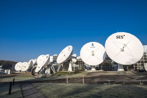
Research partnership will examine integration of satellite and terrestrial networks beyond 5G.
2020-07-15 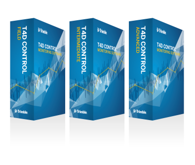
Trimble has introduced a three-tiered subscription model for its T4D package.
2020-07-15
ADVERTISEMENT

The ACT government has received the Special Achievement in GIS award for the Survey123 app.
2020-07-14 
- Sponsored Content
Aidedo was founded based on the practical experience of CEO Aiden Tong while studying and working with many Civil Engineering and Land Surveying firms in developed countries.
2026-06-02
Faro's Freestyle 2 promises speed and ease of use for close range, handheld reality capture.
2020-07-14 



Events
View All-
Nov 9
2026 Advancing Earth Observation Forum
 Hobart, Tasmania
-
Nov 13
South West and Great Southern Surveyors Conference
Mantra Bunbury Lighthouse, Bunbury, WA -
Nov 24
Locate26 Conference / 10th Digital Earth Summit
Melbourne Convention & Exhibition Centre -
Nov 30
-
Feb 5
2026 National EISSI Awards
Melbourne Convention & Exhibition Centre

