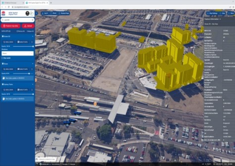
NSW’s digital twin and the National Joint Common Operating Picture have won Special Achievement in GIS awards.
Geoscience Australia to give online update briefing
The Showcase 2026 event will cover the Digital Atlas of Australia, seabed mapping, critical minerals and more.
Read moreLatest Geospatial News
View all
ADVERTISEMENT
Coming up on 24 August, the event will cover developments in surveying, GIS, remote sensing and more.
A platform for supporting energy and mineral projects, and a waterbird monitoring project, are on the shortlist.
Nick Bolton is to become head of the Ordnance Survey, while Angus Essenhigh is the UK’s new National Hydrographer.
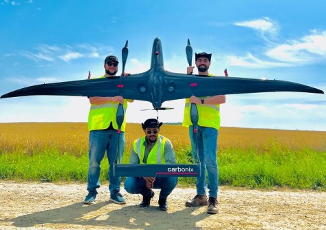
Carbonix’ Volanti drone is being flown by Aerial Vantage as part of a large rural remote sensing project.
More than 30 surveying organisations created 324 ePlans using the Portal during the pilot phase period.
ADVERTISEMENT
A new project will assess the best way to achieve a more consistent solution for location-based reports in NSW.
Aidedo was founded based on the practical experience of CEO Aiden Tong while studying and working with many Civil Engineering and Land Surveying firms in developed countries.
As of 1 July, the Geocentric Datum of Australia 2020 is to be used for surveying, mapping and spatial data.
Events
View All-
Nov 24
Locate26 Conference / 10th Digital Earth Summit
Melbourne Convention & Exhibition Centre -
Nov 30
-
Feb 5
2026 National EISSI Awards
The Marion, Barrine Drive Regatta Point, Commonwealth Park, Canberra -
Mar 15
Association of Public Authority Surveyors, NSW, 2027 Conference
Crowne Plaza, Terrigal