

Two teams of researchers who employ spatial technologies have been shortlisted for this year’s Eureka Prizes.
The Economic Fairways Mapper project is in the running for the University of Sydney Eureka Prize for Innovative Research in Sustainability.
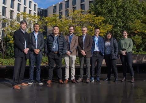
The online platform, developed by researchers led by Dr Stuart Walsh of Monash’s Department of Civil Engineering and Dr Marcus Haynes of Geoscience Australia, is designed to support the responsible and sustainable development of renewable energy and critical mineral resources in Australia.
The team developed an open-source toolkit to facilitate planning of renewable energy and mineral projects by providing access to multi-disciplinary information. That information can then be used to identify the most sustainable locations for resource development in the early stages of project decision-making and investment when the potential for impact is greatest.
The Economic Fairways Mapper integrates rail and road transportation infrastructure, pipelines to export ports, and ready access to water in its analysis, to accurately identify the best locations for new projects to aid in the energy transition.
“It’s such a proud moment to see the work of talented Monash researchers recognised at one of Australia’s most prestigious science awards,” said Professor Rebekah Brown, Deputy Vice-Chancellor Research and Senior Vice-President at Monash University.
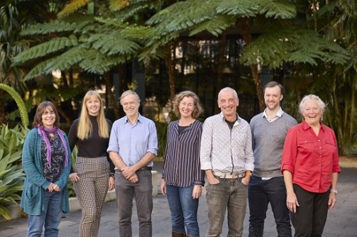
The Waterbirds Aerial Survey Team has been shortlisted for the NSW Environment and Heritage Eureka Prize for Applied Environmental Research.
The team has conducted one of the largest and longest-running wildlife surveys in the world, having recently concluded its 40th annual survey.
As well as influencing the Murray-Darling Basin Plan and nomination and management of Ramsar-listed wetlands, their data has contributed to the gazettal of three new national parks, and conservation of waterbirds and freshwater ecosystems, including rivers.
“We’ve been doing this amazing aerial survey for 40 years, covering about a third of the continent, right up from Queensland down to Victoria, collecting data on more than 50 different waterbird species, over 2,000 wetlands,” said Professor Richard Kingsford, Director of the Centre for Ecosystem Science at UNSW.
The survey involves flying a light aircraft at very low altitudes, with two observers aboard the aircraft monitoring the wetlands below and recording the number and species of waterbirds seen.
The survey is run by the Centre for Ecosystem Science at the University of NSW in partnership with the NSW Office of Environment & Heritage, with additional funding provided by the South Australian Department of Environment and Water, the Queensland Department of Environment and Science, the Victorian Department of Environment, Land, Water & Planning, the Victorian Game Management Authority and the Department of Environment of the Australian Government.


