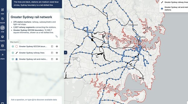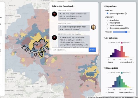
The Geospatial Commission and The Alan Turing Institute want to see if AI can support better decision-making.
MapAI goes live after years of development
The plain language-driven, AI-powered mapping platform is now available for individual and corporate users.
Read moreLatest Geospatial News
View all
ADVERTISEMENT
The project is providing harmonised, cross-border data for use by governments and the private sector.
Singapore has outlined key initiatives for geospatial-enabled outcomes to improve lives and solve challenges.
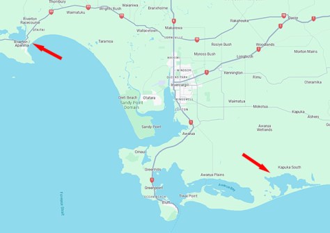
The campaign will produce detailed 3D maps of the seafloor and coastline between Riverton and Waituna Lagoon.
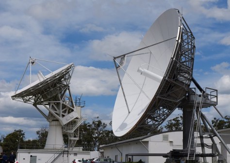
The joint Australia/NZ satellite-based augmentation system’s availability level has climbed from 95% to 99.5%.
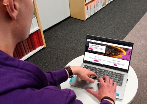
In the run up to the Locate conference in May, we’re highlighting some of the companies you’ll be able to meet.
ADVERTISEMENT
Under a bilateral agreement, Australia’s space-based water monitoring system will also be set up in the UK.
Aidedo was founded based on the practical experience of CEO Aiden Tong while studying and working with many Civil Engineering and Land Surveying firms in developed countries.
The new effort highlights technology’s role in improving planning in order to ensure a more climate-resilient nation.
Events
View All-
Nov 9
2026 Advancing Earth Observation Forum
Hobart, Tasmania -
Nov 13
South West and Great Southern Surveyors Conference
Mantra Bunbury Lighthouse, Bunbury, WA -
Nov 24
Locate26 Conference / 10th Digital Earth Summit
Melbourne Convention & Exhibition Centre -
Nov 30
-
Feb 5
2026 National EISSI Awards
The Marion, Barrine Drive Regatta Point, Commonwealth Park, Canberra