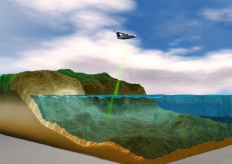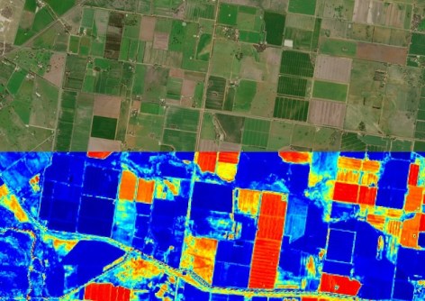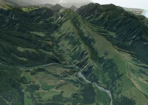
The new 3D function has been formed through overlaying high-resolution images over elevation data.
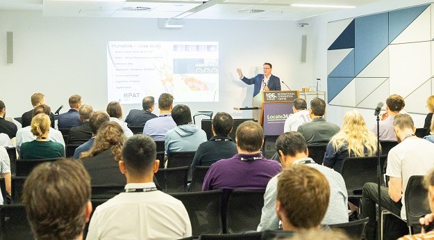
Locate26 Conference: Detailed program rundown
The Locate conference is less than three weeks away, so now’s the time to register and check out the program.
Read moreLatest Geospatial News
View all
ADVERTISEMENT
The Terrestrial Ecosystem Research Network is conducting a nationwide ecological data collection program.
The solution from The Spatial Distillery Company is helping Torus Networks optimise and manage its infrastructure.
The trio will contribute to the work of the acclaimed Australasian Hydrographic Surveyors Certification Panel.
Up to 40% of New Zealand’s coast will be LiDAR mapped to help mitigate against climate change and disasters.
The partners have teamed up to address challenges in emissions monitoring, pest management and crop yield.
ADVERTISEMENT
Three months after launch, satellites 29 and 30 have reached their target positions at an altitude of 23,222 km.
Aidedo was founded based on the practical experience of CEO Aiden Tong while studying and working with many Civil Engineering and Land Surveying firms in developed countries.
AUSPOS cluster processing is a decision of convenience rather than performance.
Events
View All-
Nov 9
2026 Advancing Earth Observation Forum
Hobart, Tasmania -
Nov 10
SouthPAN Industry Day
Online -
Nov 13
South West and Great Southern Surveyors Conference
Mantra Bunbury Lighthouse, Bunbury, WA -
Nov 24
Locate26 Conference / 10th Digital Earth Summit
Melbourne Convention & Exhibition Centre -

Nov 30